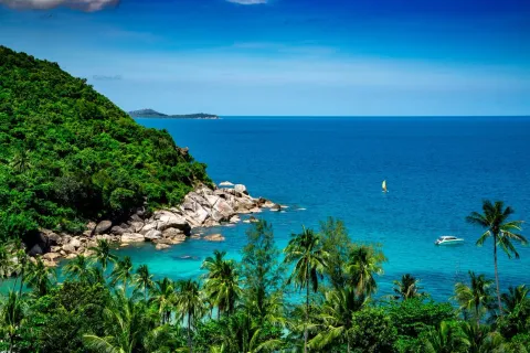
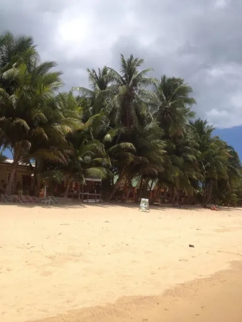
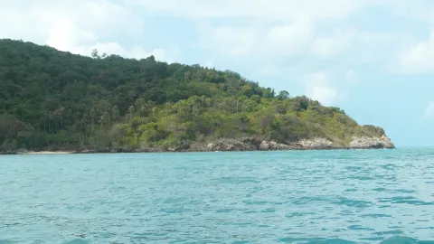
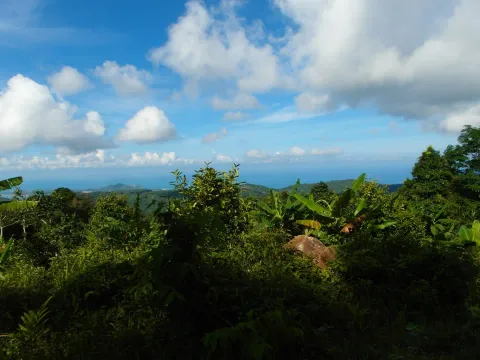
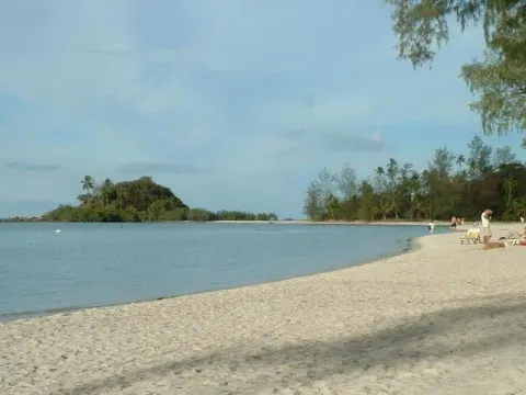
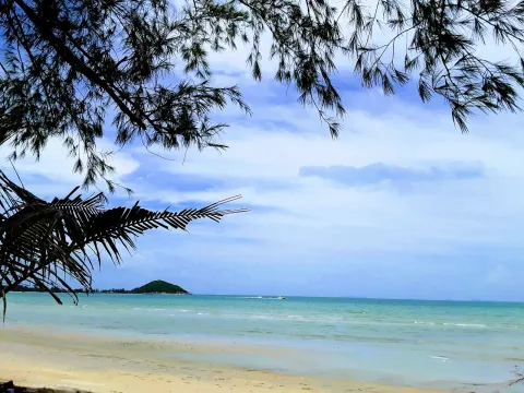
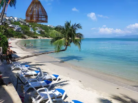
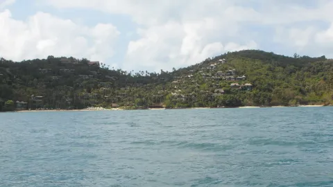
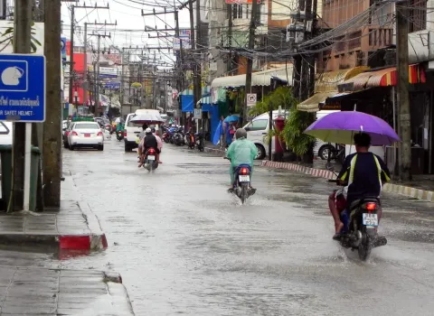
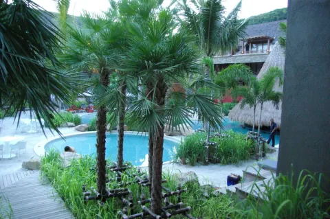
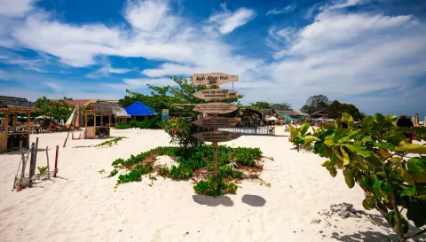
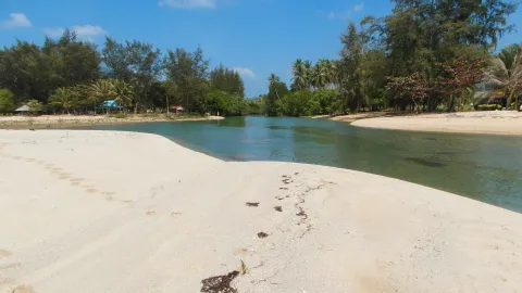
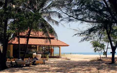
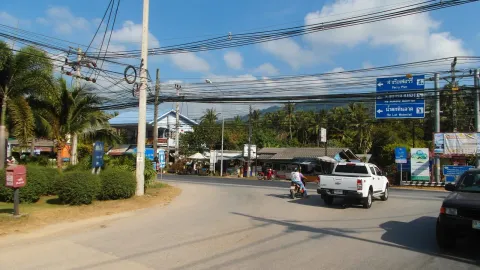
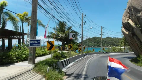
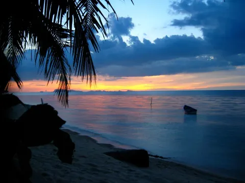
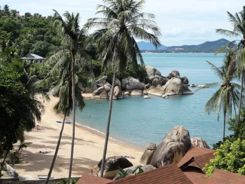
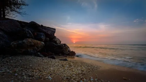
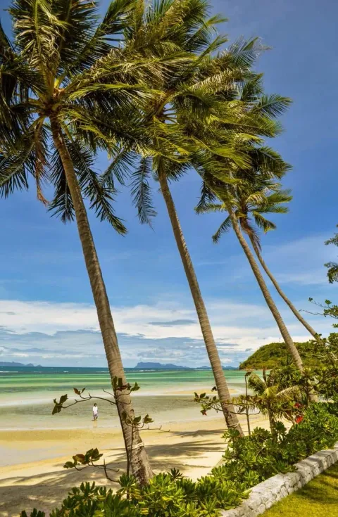
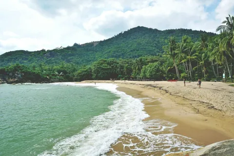
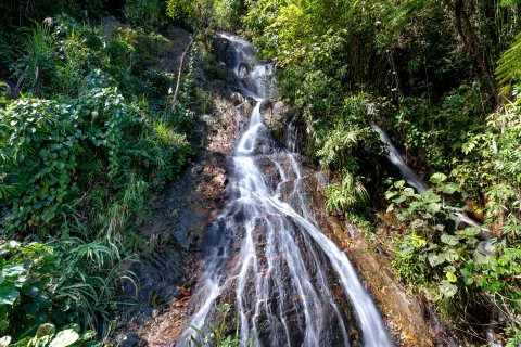
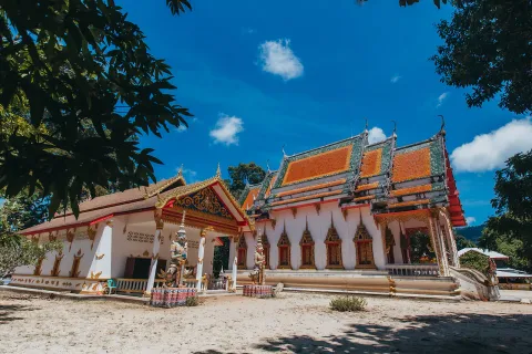
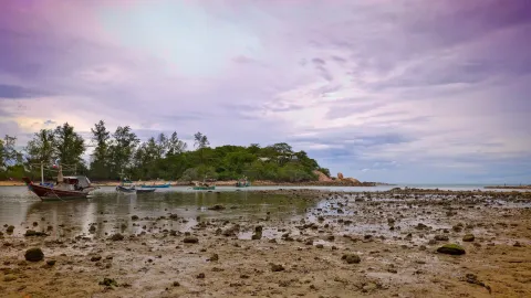
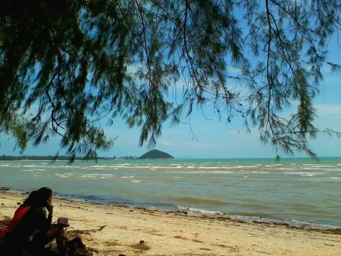
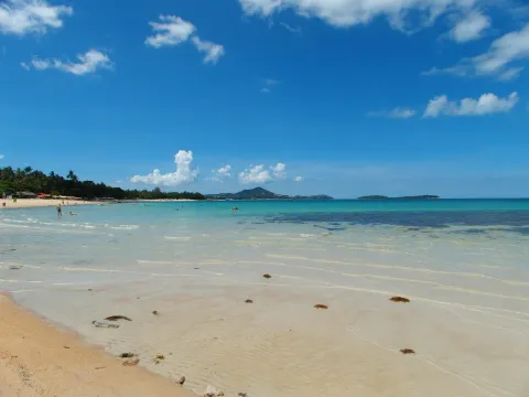
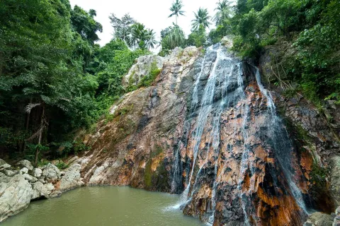
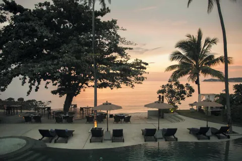
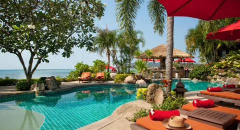
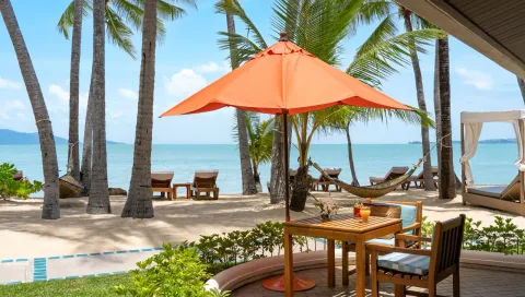
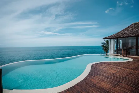
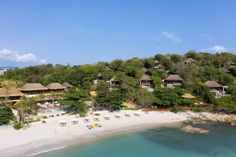
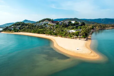
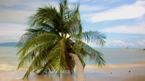
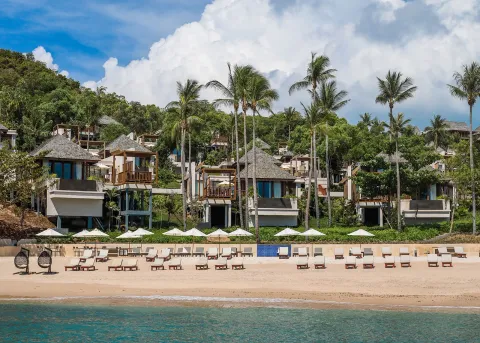
North coast
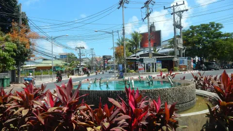
Maenam แม่น้ำ
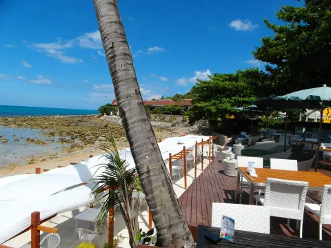
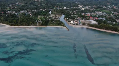
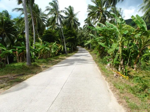
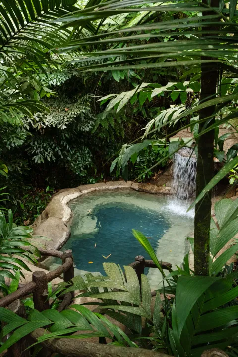
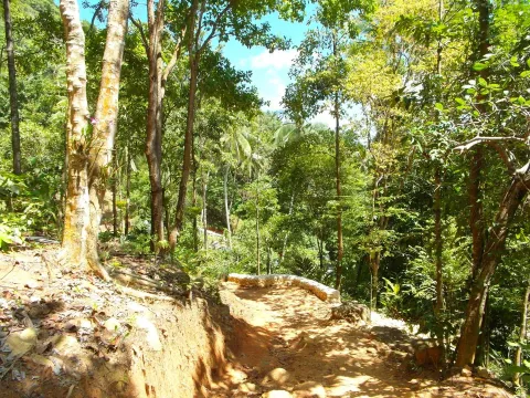
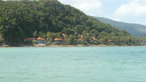
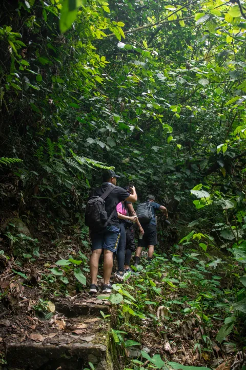
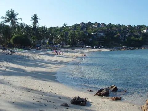
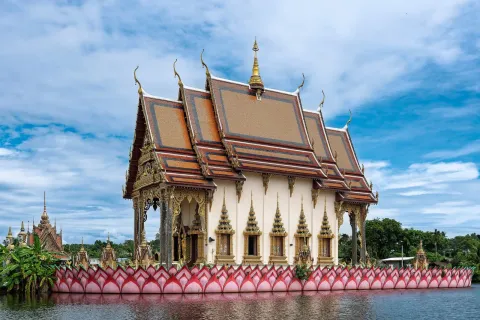
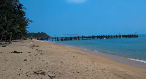
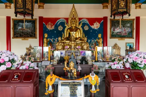
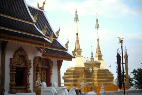
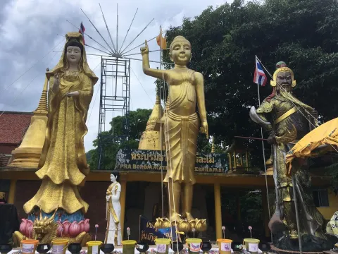
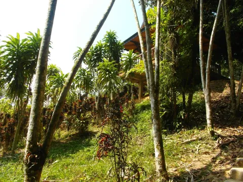
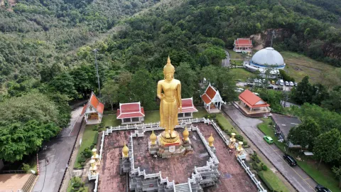
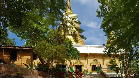
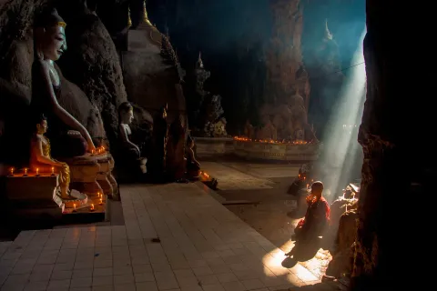
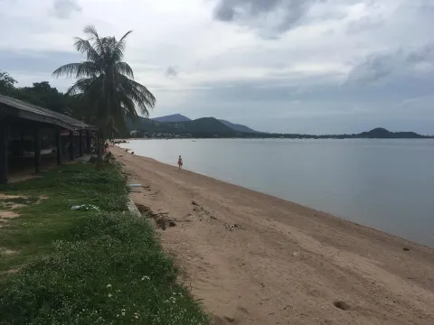
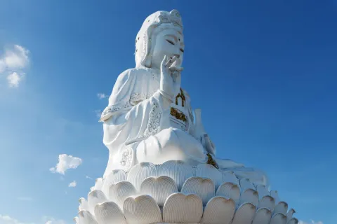
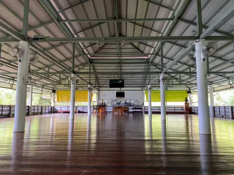
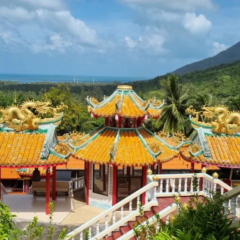
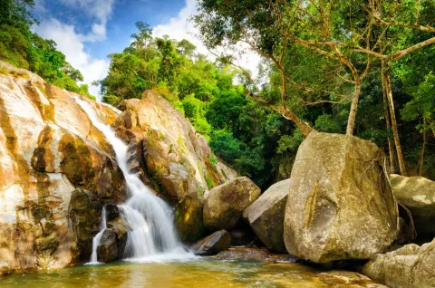
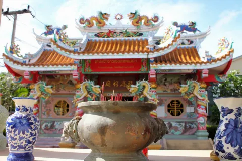
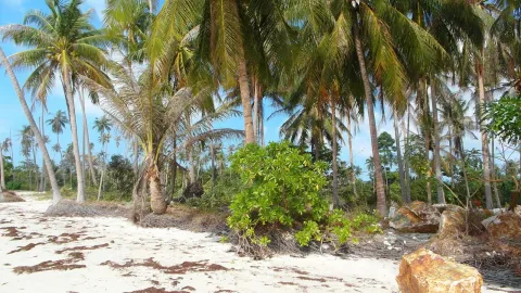
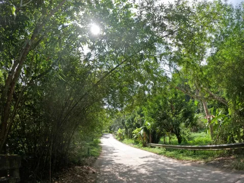
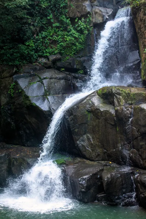
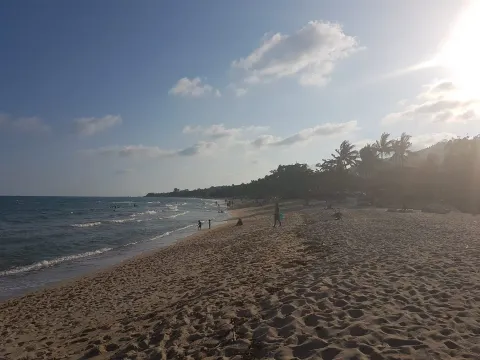
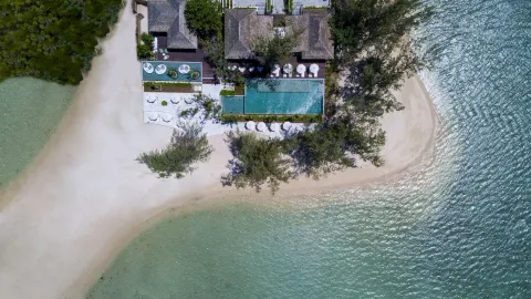
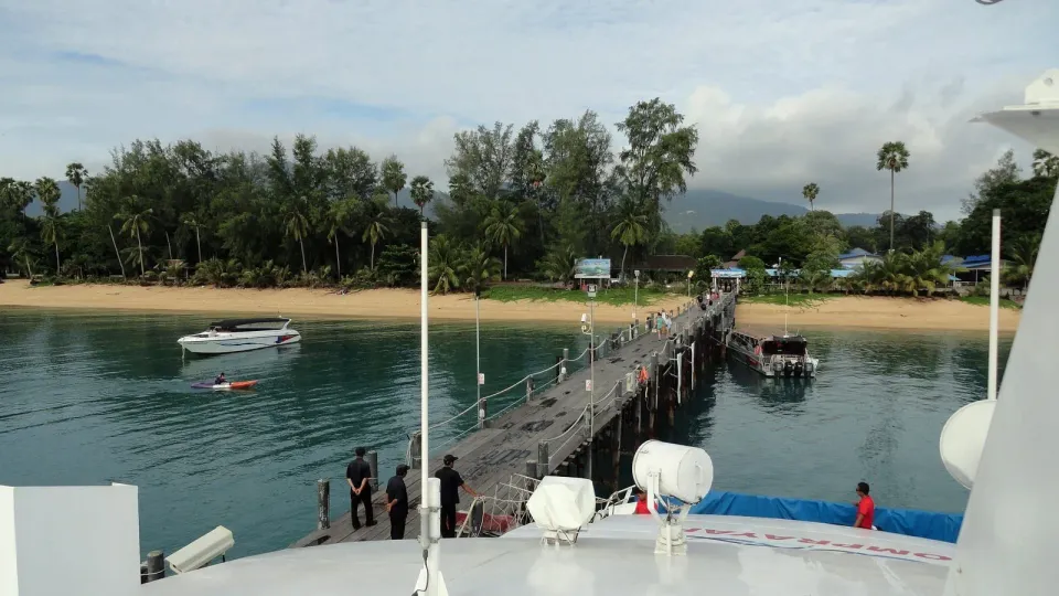
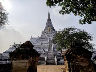
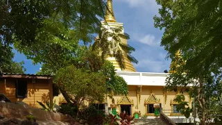
A long quiet beach, Bang Po, the Golden Mount temple, a Chinese temple, Tan Rua falls, and the Hog Trail through the hills.
6 beaches 1 waterfall 3 temples 3 trails 3 viewpoints 4 hotels
A map of Koh Samui with every beach, waterfall, temple and trail. Filter by category or area, search by name, and see what sits near each place before you go.
136 places in 7 areas
Area
Map data from OpenStreetMap contributors, base tiles by Protomaps, terrain from Mapterhorn, and area boundaries from OCHA's Common Operational Datasets. Found a wrong pin? Tell us
At a glance
Koh Samui is Thailand's second-largest island after Phuket, about 35 km north-east of Surat Thani town. The official area is 228.7 km². Our OpenStreetMap coastline measures 237 km², about 4% more, because the two figures come from different methods. The Route 4169 ring road runs about 51 km around the coast and links every main beach town.
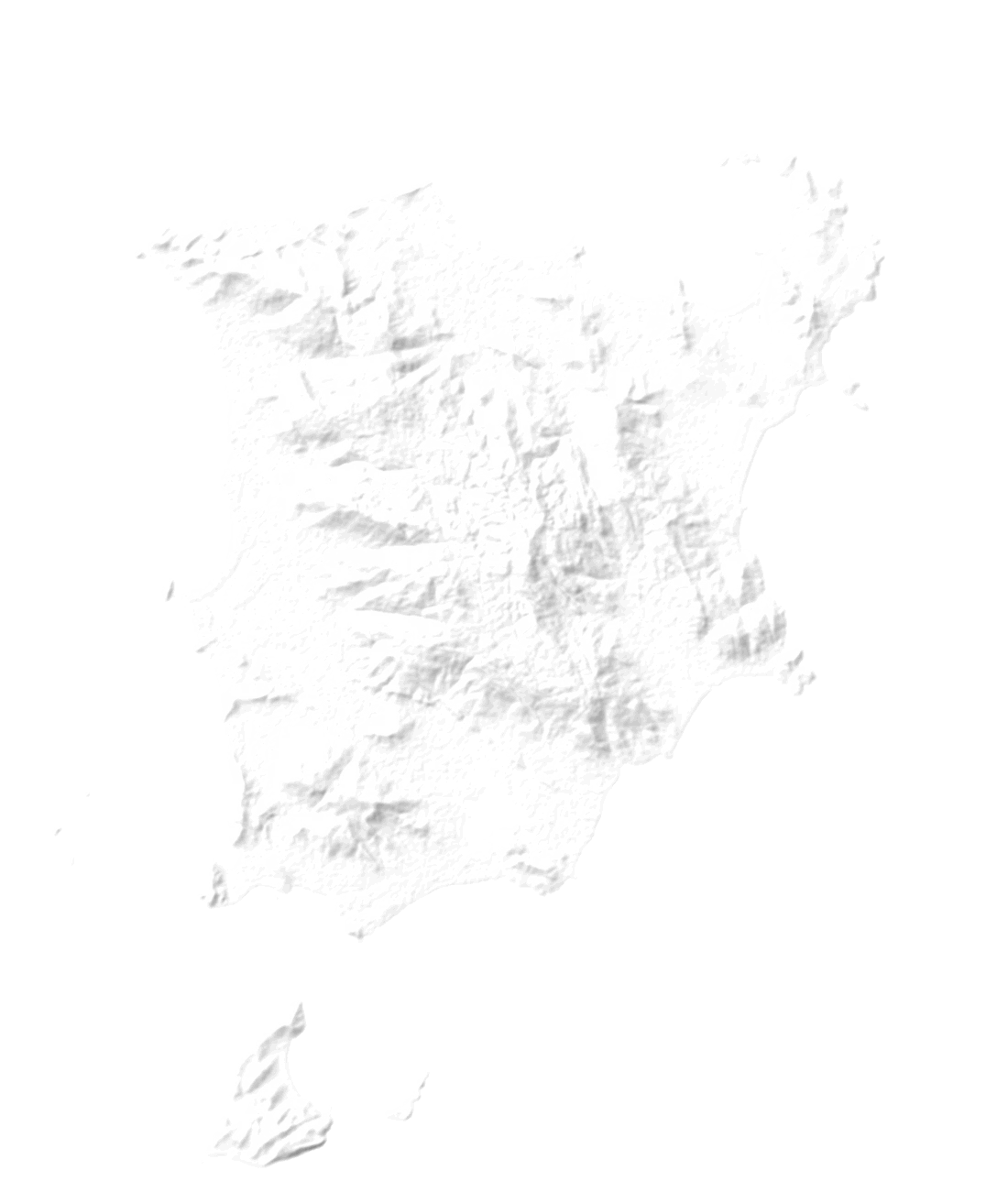
Hills fill the middle of the island and the roads stay near the sea. Khao Pom is the highest point: our elevation model reads 632 m, the figure usually cited is 635 m. Chaweng and Lamai face east, Bophut and Maenam north, Nathon, Lipa Noi and Taling Ngam west. The airport sits in the north-east, 2 km from Chaweng.
Areas
Samui is split into seven areas, and each has its own pace: busy beaches in the north-east, waterfalls in the hills, quiet sunset coasts in the west. Open one to see its places on the map.
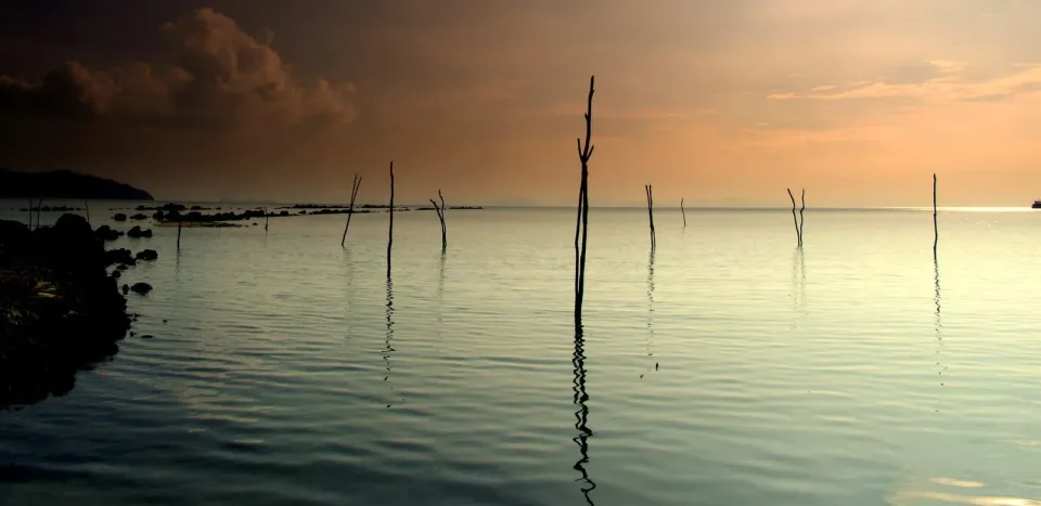
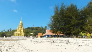
North coast
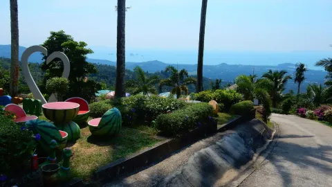
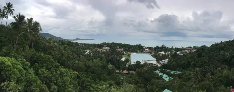
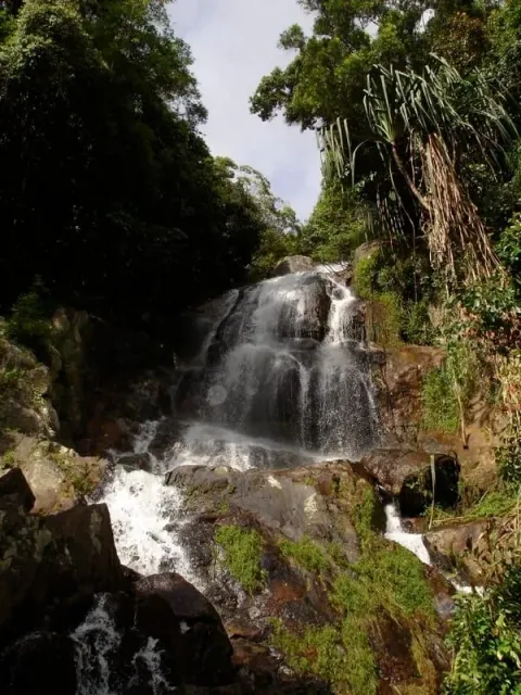
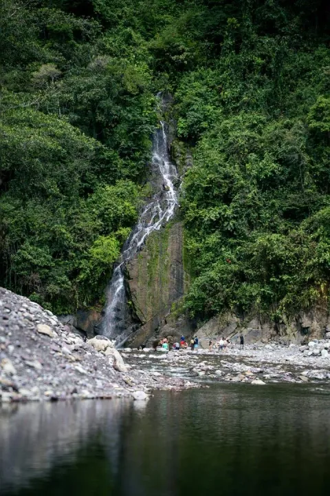
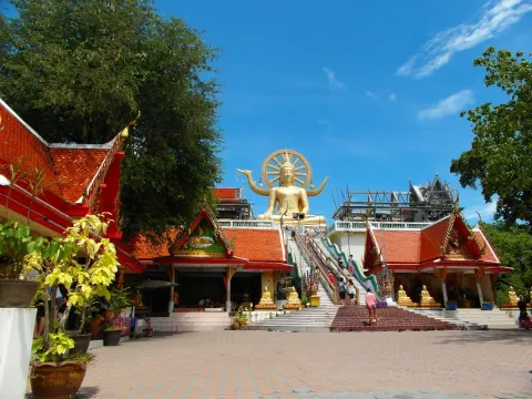
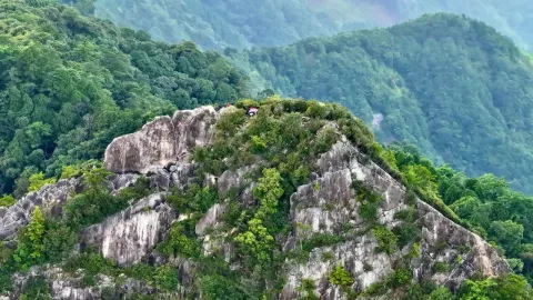
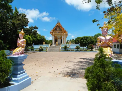
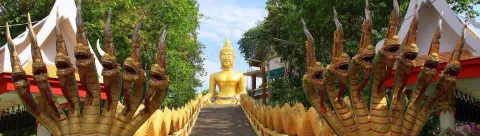
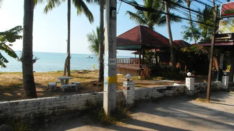
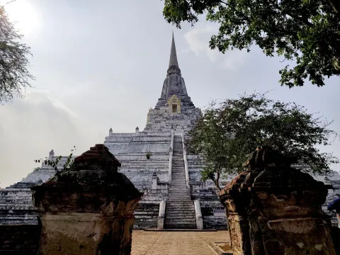
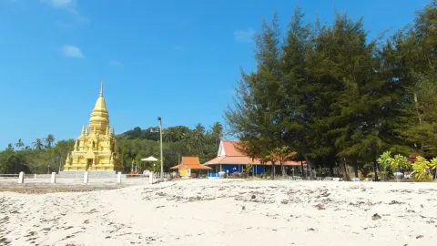
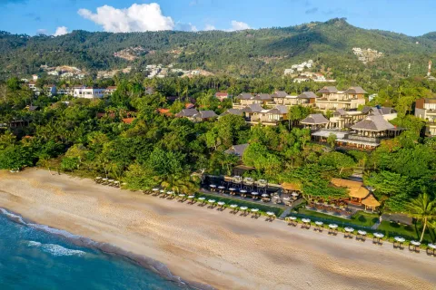
A long quiet beach, Bang Po, the Golden Mount temple, a Chinese temple, Tan Rua falls, and the Hog Trail through the hills.
6 beaches 1 waterfall 3 temples 3 trails 3 viewpoints 4 hotels
North-east
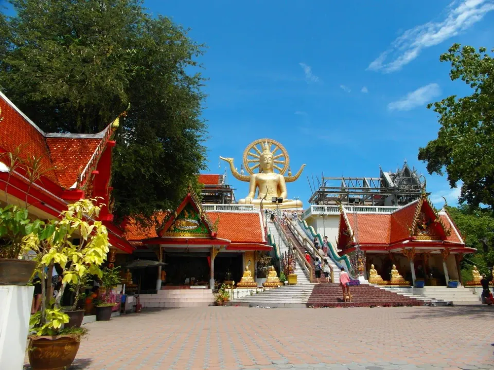
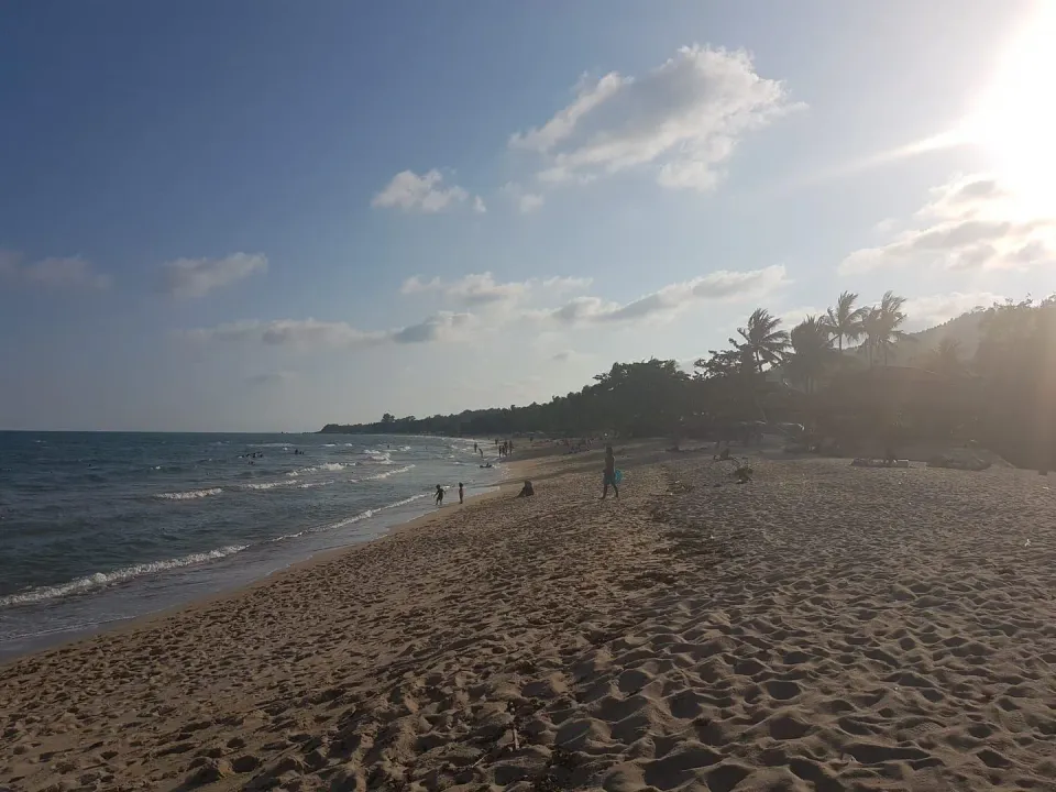
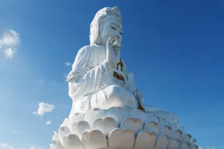
Fisherman's Village, the Big Buddha at Bang Rak, Wat Plai Laem, Chaweng's beaches and nightlife, Choeng Mon, and the airport.
10 beaches 1 waterfall 7 temples 4 trails 4 viewpoints 19 hotels
East coast
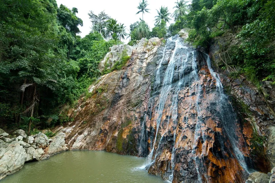
Lamai's beach and viewpoints, Hua Thanon fishing village, the red temple Wat Sila Ngu, and Overlap Stone.
6 beaches 1 waterfall 6 temples 2 trails 4 hotels
Hills and south
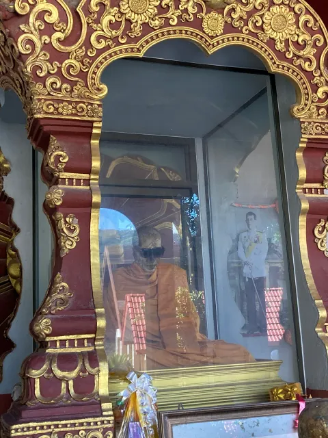
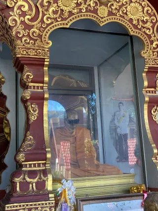
Na Muang's waterfalls, the Secret Buddha Garden, the mummified monk at Wat Khunaram, and Samui 360 viewpoint.
2 beaches 4 waterfalls 5 temples 8 trails 1 viewpoint 1 hotel
South-west coast
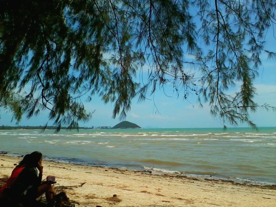
A sunset coast facing the Five Islands, Thong Krut's boats to Koh Tan, Phang Ka bay, and the white Wat Khao Chedi.
5 beaches 5 temples 1 viewpoint 1 hotel
West coast
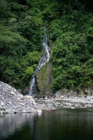
A quiet sunset coast: Lipa Noi beach, Tong Yang bay, waterfalls at Hin Lad and Tartain, and Khao Pom, the island's highest point.
2 beaches 2 waterfalls 1 temple 3 trails
North-west
Nathon's port town and sunset strip, Wat Chaeng, the Hainan shrine, and a ridge trek above Hin Lad forest temple.
3 beaches 2 waterfalls 3 temples 2 trails 1 viewpoint
Getting around
One road loops the whole island, so getting lost is hard. Here is how people move along it, what it costs, and the one thing to know before each.
Route 4169, the ring road
51 km round the coast
Side roads climb inland to temples, waterfalls and viewpoints, and every main beach town sits on the loop.
Getting around guide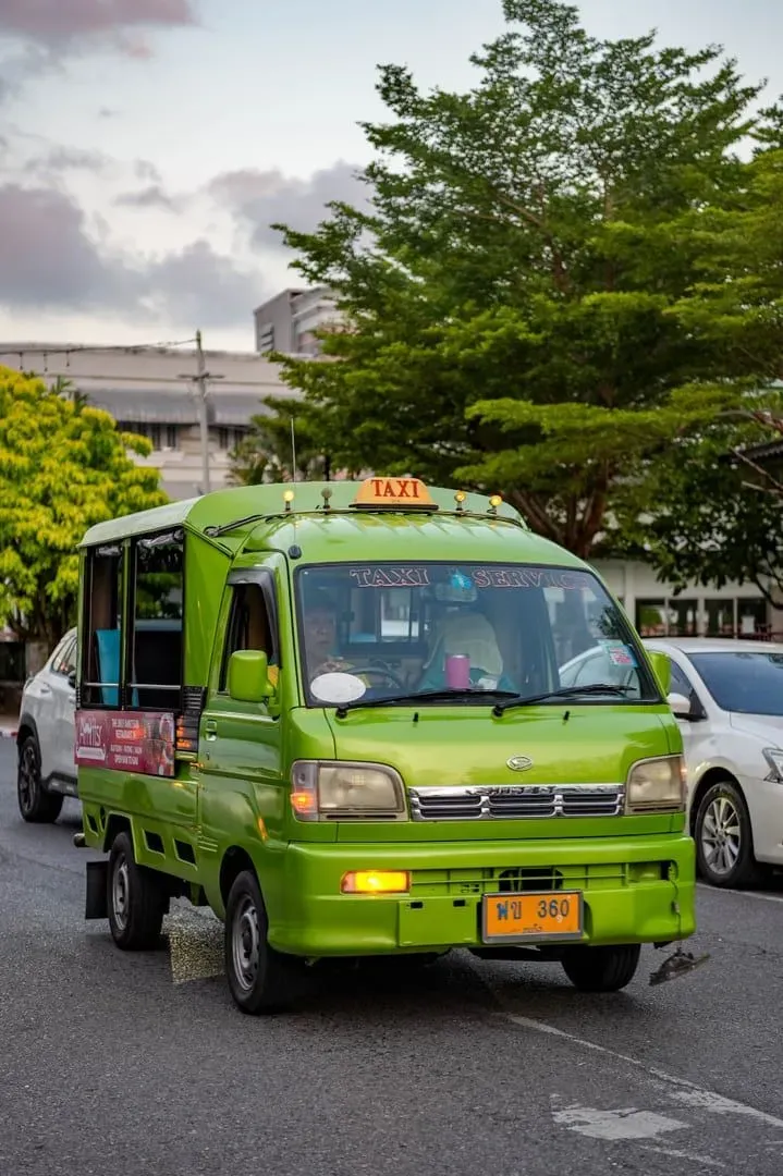
50 to 100 THB a hop
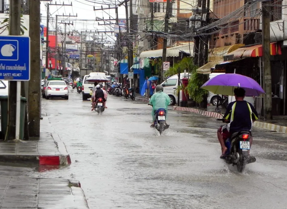
Songthaews, the shared pickup trucks, cost 50 to 100 THB a hop. Grab and Bolt work island-wide, day and night.
Heads up: Songthaews stop around 9 to 10 pm, and street taxis rarely use a meter: agree the fare first.
Taxi and Grab guide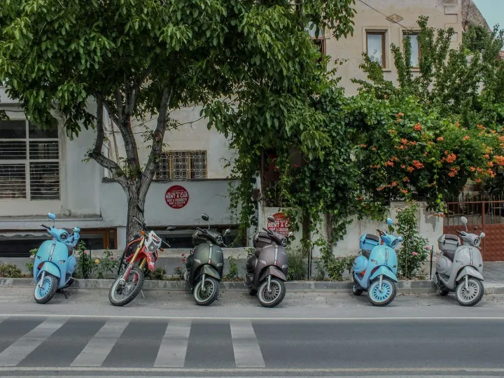
150 to 450 THB a day
Rentals are everywhere. You need a motorcycle licence or an IDP with the motorcycle class.
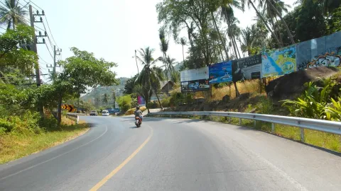
Heads up: Known danger spots: the Nathon to Maenam hill and the Chaweng to Lamai stretch.
Scooter rental guide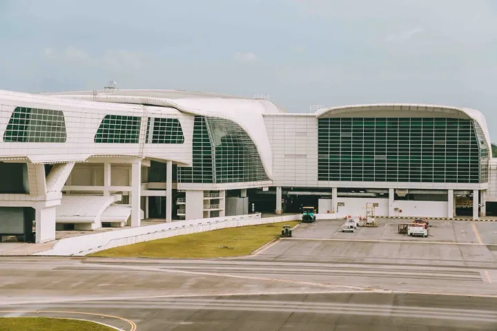
about 500 THB to Chaweng
Samui Airport (USM) is small and open-air, in the north-east. Arrivals taxis use fixed zone fares, up to 1,500 THB to the far west.
Heads up: Grab and Bolt cannot pick up inside the terminal.
Airport guide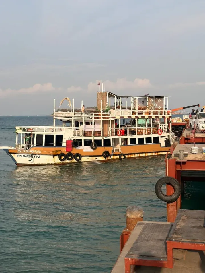
5 piers
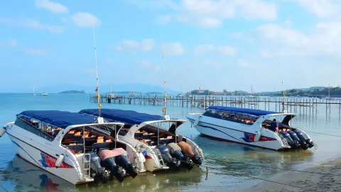
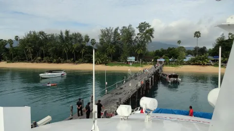
Nathon is the main mainland gateway. Bang Rak and Maenam serve Koh Phangan, and Thong Krut has longtails to Koh Tan.
Heads up: Lipa Noi has the only car ferry, to Donsak.
Ferry piers guide