
Before it on the ring road
Lipa Noi Beach
1.4 km south of Tong Yang Beach
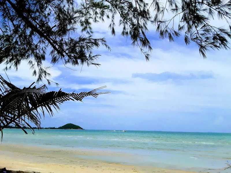
Lipa Noi Beach is a quiet 3.5 km west-coast beach on Koh Samui: very shallow water for kids, tide tips, sunsets, 25 km from the airport.
Right now
Month by month
Pick a month. The water, the swim call, the crowds and the sun all follow your pick, here and further down the page.
CalmChoppyRough Rain
Swim January
Swim near high tide
Calm water, but shallow: come an hour or two either side of high water, when there is enough depth to swim.
West coast Sea 28 °C Sunset 18:18 Calm
Swim February
Swim near high tide
Calm water, but shallow: come an hour or two either side of high water, when there is enough depth to swim.
West coast Sea 28.5 °C Sunset 18:29 Calm
Swim March
Swim near high tide
Calm water, but shallow: come an hour or two either side of high water, when there is enough depth to swim.
West coast Sea 29 °C Sunset 18:32 Calm
Swim April
Swim near high tide
Calm water, but shallow: come an hour or two either side of high water, when there is enough depth to swim.
West coast Sea 30 °C Sunset 18:30 Calm
Dip May
A short dip in choppy water
The sea on this coast turns choppy this month and the shallows can go murky. Stay in your depth.
West coast Sea 30 °C Sunset 18:33 Choppy
Dip June
A short dip in choppy water
The sea on this coast turns choppy this month and the shallows can go murky. Stay in your depth.
West coast Sea 30 °C Sunset 18:41 Choppy
Dip July
A short dip in choppy water
The sea on this coast turns choppy this month and the shallows can go murky. Stay in your depth.
West coast Sea 29.5 °C Sunset 18:45 Choppy
Dip August
A short dip in choppy water
The sea on this coast turns choppy this month and the shallows can go murky. Stay in your depth.
West coast Sea 29.5 °C Sunset 18:38 Choppy
Stay out September
Stay on the sand
Rough water on this coast this month. Watch the flags and keep out of the waves.
West coast Sea 29 °C Sunset 18:21 Rough
Stay out October
Stay on the sand
Rough water on this coast this month. Watch the flags and keep out of the waves.
West coast Sea 29 °C Sunset 18:03 Rough
Stay out November
Stay on the sand
Rough water on this coast this month. Watch the flags and keep out of the waves.
West coast Sea 29 °C Sunset 17:56 Rough
Swim December
Swim near high tide
Calm water, but shallow: come an hour or two either side of high water, when there is enough depth to swim.
West coast Sea 28.5 °C Sunset 18:03 Calm
Swim
High tide only
A workable dip at high water. At low water you walk a long way out before it reaches your waist.
Snorkel
Sea
CalmCalmCalmCalmChoppyChoppyChoppyChoppyRoughRoughRoughCalm
28 °C water, 125 mm of rain on 8 days.28.5 °C water, 65 mm of rain on 4 days.29 °C water, 115 mm of rain on 5 days.30 °C water, 85 mm of rain on 6 days.30 °C water, 130 mm of rain on 11 days.30 °C water, 135 mm of rain on 10 days.29.5 °C water, 115 mm of rain on 11 days.29.5 °C water, 100 mm of rain on 10 days.29 °C water, 120 mm of rain on 11 days.29 °C water, 295 mm of rain on 16 days.29 °C water, 445 mm of rain on 16 days.28.5 °C water, 265 mm of rain on 12 days.
Calm December to April
Sand
Pale, fine
Soft, fine sand underfoot, easy on bare feet.
Wide flats at low tide
Crowds
Almost no one
Peak season on the island: more people on every beach.Peak season on the island: more people on every beach.Shoulder season: a steady trickle of visitors.Shoulder season: a steady trickle of visitors.Low season island-wide. You may have long stretches to yourself.Low season island-wide. You may have long stretches to yourself.Shoulder season: a steady trickle of visitors.Shoulder season: a steady trickle of visitors.Low season island-wide. You may have long stretches to yourself.Low season island-wide. You may have long stretches to yourself.Low season island-wide. You may have long stretches to yourself.Peak season on the island: more people on every beach.
Island busy this month
Sunset
18:1818:2918:3218:3018:3318:4118:4518:3818:2118:0317:5618:03
Goes down over open water, straight out to sea.Goes down over open water, straight out to sea.Goes down over the sea toward the Ang Thong islands, about 25 km out.Goes down over the sea toward the Ang Thong islands, about 25 km out.Goes down over open water, straight out to sea.Goes down over the sea toward the Ang Thong islands, about 25.3 km out.Goes down over the sea toward the Ang Thong islands, about 25.3 km out.Goes down over open water, straight out to sea.Goes down over the sea toward the Ang Thong islands, about 25 km out.Goes down over open water, straight out to sea.Goes down over open water, straight out to sea.Goes down over open water, straight out to sea.
Kids
2 of 3
Shallow, gentle water for wading. No lifeguard, so stay close.
Kids rating
Food
Bring your own
No restaurant named on the sand. Pack water and snacks.
Mid-range prices
After dark
Nothing
No bars and no lights. For a night out, head to Chaweng or Bophut.
Nightlife rating
The story
13 min read
Key facts
Tong Yang Beach (หาดทองหยาง) is a quiet stretch of sand on the west coast of Koh Samui, Thailand, forming the northern part of the wider Lipa Noi bay south of Nathon. Locals and mapmakers do not always agree on where Lipa Noi ends and Tong Yang begins: the two names are often used for the same shoreline, but the section most commonly called Tong Yang runs for roughly 4 km north of a small headland that carries a Thai Navy outpost.
What sets Tong Yang apart from the smoother sand at Lipa Noi Beach just south of the cape is an offshore reef that appears in patches along the shore. It limits swimming at low tide in places but rewards anyone with a mask and snorkel, and it is one reason this stretch stays far less developed than Samui’s east-coast beaches. Add uninterrupted sunset views over the Gulf of Thailand toward the Five Islands and the hills of Ang Thong National Marine Park, and Tong Yang earns its reputation as one of Samui’s better-kept quiet corners.
The beach sits about 5 km south of Nathon, Samui’s port town, and roughly 25-28 km from Samui International Airport on the island’s east side. The Raja Ferry pier (also called Lipa Noi Pier), the island’s second vehicle-ferry terminal to the mainland, sits at the southern tip of the bay: a genuinely useful landmark for orienting yourself along this coast.
Like most of Samui’s west coast, the land around Tong Yang was coconut country long before it was a tourist destination. Plantations covered the gentle slopes behind the beach for generations, and small fishing communities worked the calmer waters of the bay, sheltered from the open Gulf of Thailand by the headland that splits Tong Yang from Lipa Noi proper.
That headland still carries a small Thai Navy base today, which is part of why this stretch of coast never saw the dense resort development of Chaweng or Lamai on the opposite side of the island. Public access and construction near a military installation are naturally more restricted, and the result (whether by design or accident) is a beach that has kept its village character. Ban Lipa Noi, the settlement that spans both bays, remains a working community of fishing families, small farms, and a scattering of guesthouses rather than a resort strip.
The other defining piece of modern history here is transport. When Raja Ferry opened its Lipa Noi terminal at the southern edge of Tong Yang Bay as a second vehicle-ferry link to the mainland at Don Sak, the area gained a practical role in island life it hadn’t had before: moving cars, construction materials, and goods on and off Samui without the congestion of the older pier at Nathon.
Geographically, this coastline is really two adjoining beaches separated by the small naval headland. North of the cape is the longer stretch most often labeled Tong Yang, running approximately 4 km. South of the cape, wrapping around to the Raja Ferry pier, is a shorter bay of just over 1 km that overlaps with what most visitors call Lipa Noi. In practice the sand is continuous in character across both (soft, pale, and backed by coconut palms and casuarina trees) and locals frequently use “Tong Yang” and “Lipa Noi” interchangeably for the whole west-coast run south of Nathon.
The clearest, cleanest sand tends to sit in the middle of the bay, with some debris collecting near the northern and southern edges where currents deposit driftwood and the odd piece of plastic: a minor, honest caveat worth knowing before you plan a picture-perfect walk. The seabed slopes gradually, similar to Lipa Noi, and in the mid-section the water reaches comfortable swimming depth without a sudden drop-off, though the offshore reef patches mean depth and swimmability vary more from point to point here than at Lipa Noi’s smoother southern cove.
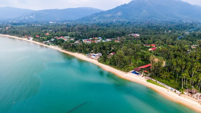
Tong Yang, like most of Samui’s west coast, is more tide-dependent than the calmer north-coast beaches. At low tide the water can retreat significantly and expose sandbars and the shallower reef sections; swimming is best from roughly mid to high tide. The beach itself sits about 2 km from the island’s Route 4170 ring road, so most visitors arrive by taxi or scooter rather than on foot from the main road: there is no direct public songthaew service down every access lane.
The offshore reef is Tong Yang’s signature feature, and the reason this beach is worth a special trip rather than just a drive-by stop on the way to the ferry. Unlike the sand-bottomed, obstruction-free shoreline at Lipa Noi to the south, patches of coral and rock break the surface at various points along Tong Yang, particularly toward the northern half of the bay.
For a bigger snorkeling day, Ang Thong National Marine Park is visible on the horizon from Tong Yang and reachable by organized boat tour from Nathon or Bangrak, typically 1,200-2,000 THB (~34-57 USD) for a full-day trip including gear and lunch.
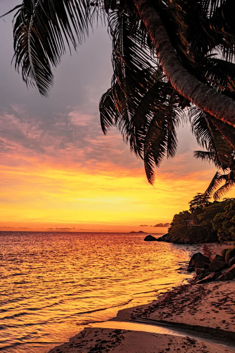
Facing almost due west, Tong Yang shares the same uninterrupted sunset exposure that makes the wider Lipa Noi coastline one of Samui’s most photographed sunset spots. On clear evenings, the sun drops behind the silhouettes of a small offshore islet cluster known locally as the Five Islands, with the peaks of Ang Thong National Marine Park forming a hazier backdrop further out in the Gulf of Thailand.
Because this stretch is far less built up than Chaweng or Bophut, there are long, unobstructed sections of beach to watch from without a resort sunbed layout blocking the view. A handful of beachfront cafes and small restaurants along the bay put out tables specifically angled toward the water in the late afternoon.
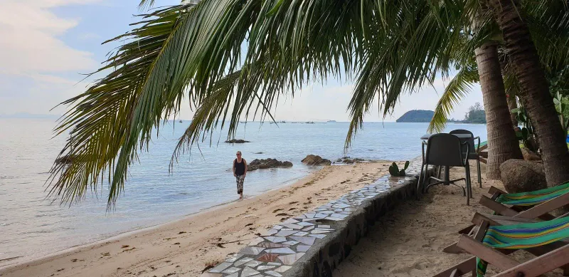
Tong Yang is not an activity hub, and that’s largely the point, but there is enough to fill a relaxed day or two.
Dining along Tong Yang and the wider Lipa Noi bay is low-key and local rather than a restaurant strip: expect a handful of options rather than dozens.
| Type | What to Expect | Price Range |
|---|---|---|
| Beachfront cafes | Simple Thai dishes, drinks, sunset seating | $ (60-150 THB / ~1.50-4.50 USD per dish) |
| Village noodle and rice shops | Pad thai, fried rice, curries, local crowd | $ (50-100 THB / ~1.50-3 USD) |
| Seafood restaurants | Fresh catch grilled or fried to order | $-$$ (150-400 THB / ~4.50-11 USD) |
| Resort dining | Upscale Thai and international menus at nearby villas/hotels | $$-$$$ (400-1,200+ THB / ~11-34+ USD) |
For a wider choice of restaurants and a livelier evening scene, most visitors staying near Tong Yang drive the short distance north to Nathon town or south to Taling Ngam Beach, both of which have more established dining strips than this quieter middle stretch of coast.
Tong Yang is on the opposite side of the island from the airport (roughly 25-28 km, or about 40-50 minutes by car depending on traffic through Nathon and the interior road).
The Raja Ferry terminal at the southern tip of the bay operates vehicle and passenger ferries to Don Sak on the mainland, running roughly hourly between about 5:00 AM and 7:00 PM. It functions as Samui’s second international vehicle pier alongside Nathon, and is typically less congested: useful to know if you’re bringing a rental car to or from the mainland, or simply prefer a quieter departure point.
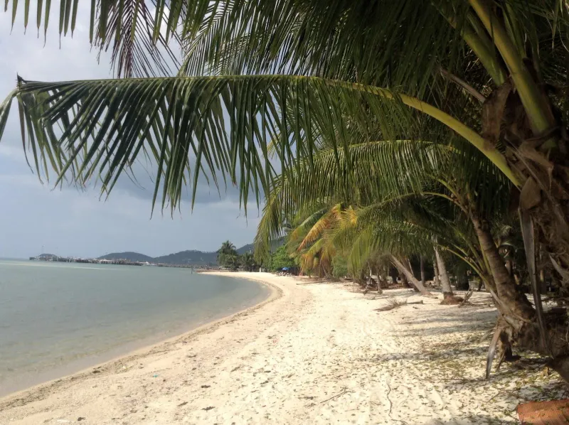
There is no dedicated songthaew route running the full length of the beach access lanes, so a rented scooter (200-300 THB/day, ~6-9 USD) or car (1,000-1,800 THB/day, ~30-54 USD) is the most practical way to explore this stretch of coast and reach restaurants outside walking distance.
Accommodation directly on Tong Yang is limited compared to the busier east coast: think villas and small guesthouses rather than resort chains, which suits travelers who specifically want distance from crowds.
| Category | Average Price | What to Expect |
|---|---|---|
| Budget | 700-1,400 THB (~20-40 USD)/night | Simple guesthouses and family-run bungalows in Ban Lipa Noi |
| Mid-range | 2,100-4,200 THB (~60-120 USD)/night | Small boutique hotels and serviced villas along the bay |
| Upscale/Villas | 5,250-14,000+ THB (~150-400+ USD)/night | Private pool villas, several marketed specifically on their Five Islands sunset views |
Because the area is quiet and spread out, most stays here are private villas booked directly or through vacation-rental platforms rather than branded hotels: plan ahead if you want a specific property, since availability is more limited than in Chaweng or Bophut.
| Season | Months | Conditions | Rating |
|---|---|---|---|
| Peak / Dry | Dec - Feb | Calmer seas, best snorkeling visibility, clearest sunsets | |
| Hot | Mar - May | Hotter (~34-36°C), generally still calm on the west coast | |
| Inter-monsoon | Jun - Aug | Mixed weather, still reliably calm most days | |
| Monsoon | Sep - mid-Nov | More rain and swell possible; west coast fares better than the east |
The west coast of Koh Samui, including Tong Yang, tends to be sheltered from the worst of the southwest monsoon that batters Chaweng and Lamai between September and November, though visibility for snorkeling drops with any increase in swell or rainfall runoff. Water temperature stays warm year-round at roughly 28-30°C. For the clearest reef visibility and the sharpest sunset silhouettes over the Five Islands, aim for December through April.
| Traveler Type | Fit | Why |
|---|---|---|
| Snorkelers on a budget | Reachable reef patches without booking a boat tour | |
| Couples seeking quiet sunsets | Uncrowded, unobstructed Five Islands sunset views | |
| Long-stay/villa travelers | Private villas, low-key village life, lower costs than east coast | |
| Families with young children | Reef and tide variability make Lipa Noi next door the safer swim choice | |
| Nightlife seekers | No bars or evening scene: Chaweng is the opposite side of the island | |
| Photographers | Naval cape, fishing boats, reef pools and sunset light all in one bay |
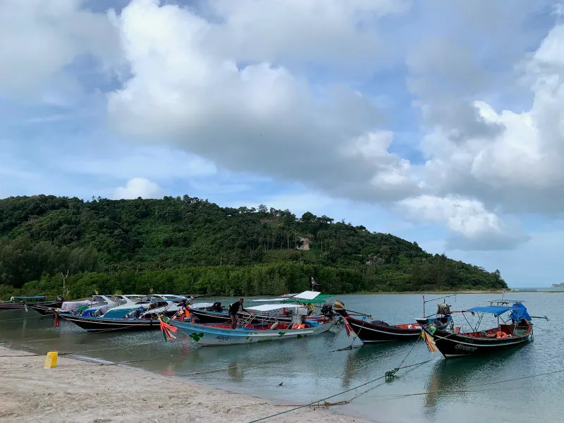
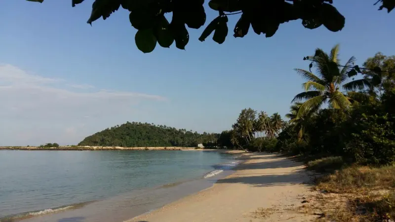
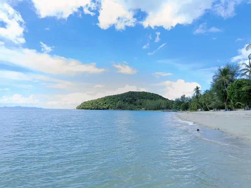
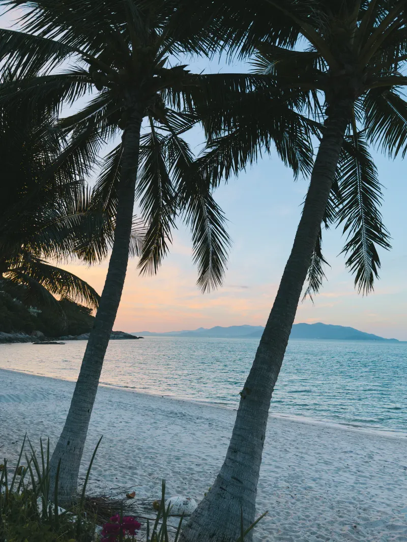
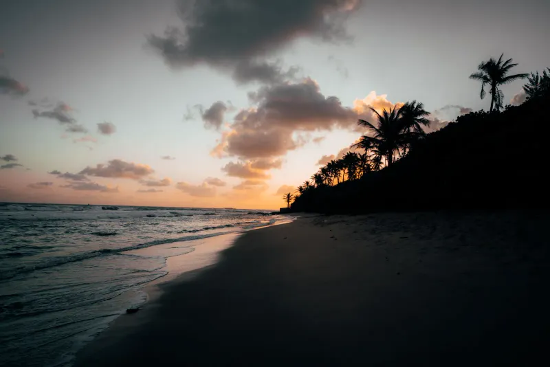
They are part of the same bay system on Koh Samui’s west coast, separated by a small headland with a naval outpost. Tong Yang usually refers to the ~4 km stretch north of the cape, while Lipa Noi refers to the shorter cove south of it near the Raja Ferry pier, but locals often use both names for the whole coastline.
Yes. Tong Yang has an offshore reef in patches, mostly toward the northern half of the bay, which offers casual snorkeling right from the beach. Visibility is best from December to April. Bring your own mask and fins, since there are no rental shops directly on this stretch of Koh Samui.
Tong Yang is on the opposite side of the island from Samui International Airport, roughly 25-28 km or 40-50 minutes by car. A prepaid airport taxi costs approximately 500-700 THB (~14-20 USD). Grab ride-hailing works once you’re off airport grounds but cannot pick up inside the terminal.
The Raja Ferry vehicle terminal sits at the southern tip of Tong Yang Bay, also called Lipa Noi Pier. Ferries to Don Sak on the mainland run roughly hourly from about 5:00 AM to 7:00 PM, offering a quieter alternative to the older pier at Nathon for both foot passengers and vehicles.
Swimming is workable at mid to high tide in the sandier middle section, but the offshore reef patches make conditions more variable than at neighboring Lipa Noi. Families wanting the calmest, most predictable shallow water for young children are usually better served at Lipa Noi Beach immediately south of the naval cape.
Tong Yang faces almost due west across the Gulf of Thailand, giving unobstructed views of the sun setting behind the Five Islands islet cluster, with the hills of Ang Thong National Marine Park visible further out. Because the beach is lightly developed, there are long, quiet stretches to watch from without crowds or resort sunbeds in the way.

Nearby
What is near
The nearest temples, waterfalls, hikes and beaches, each with the straight-line distance and direction. Point at a name to find its pin.
Getting hereStraight-line distances to the places most visitors come from.
Sunset
From the sand
Tong Yang Beach looks west. Pick a month to see where the sun meets the horizon, and what stands in front of it.
18:18January18:29February18:32March18:30April18:33May18:41June18:45July18:38August18:21September18:03October17:56November18:03December
Sun bearing from the middle of the beach, computed from its coordinates and the coastline outlines, mid-month.
This coast
Along the ring road
Tong Yang Beach is No. 34 of 34 round the ring road. Next door: Lipa Noi Beach one way, Nathon Beach the other.
Route 4169, the ring road, runs behind every beach on this stretch
Before it on the ring road
1.4 km south of Tong Yang Beach
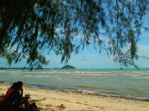
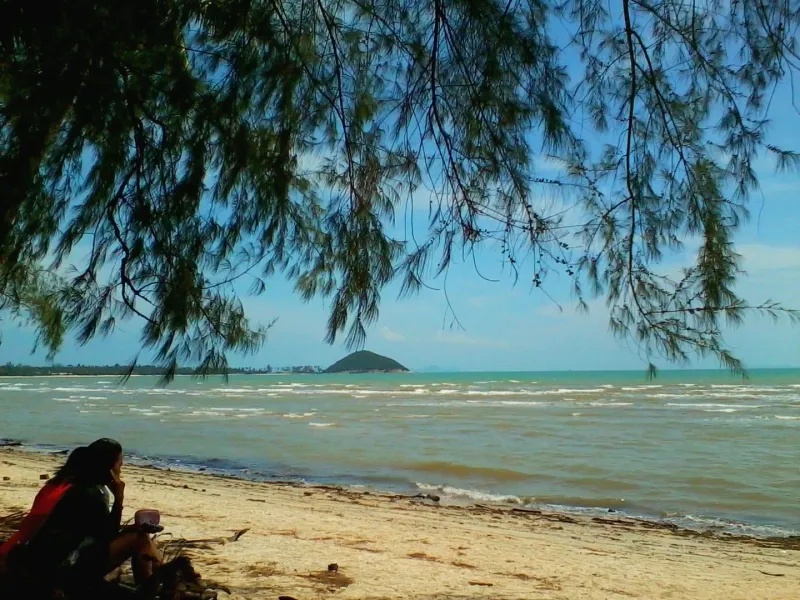
Lipa Noi Beach is a quiet 3.5 km west-coast beach on Koh Samui: very shallow water for kids, tide tips, sunsets, 25 km from the airport.
After it on the ring road
3.3 km north of Tong Yang Beach
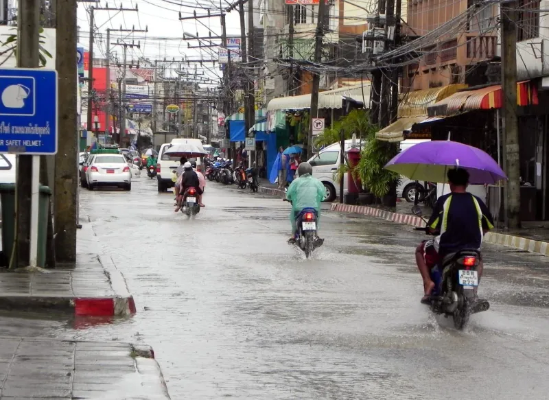
Nathon Beach (Na Thon) is Koh Samui's west-coast port waterfront: not for swimming, but old shophouses, a Saturday market and sunsets