4hours5hours6hours
Summit
631m
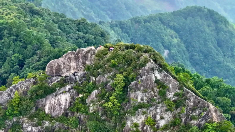 1 Guide required
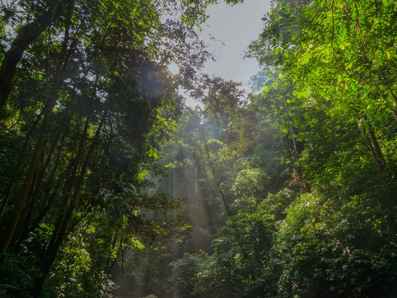
Hiking24 trails
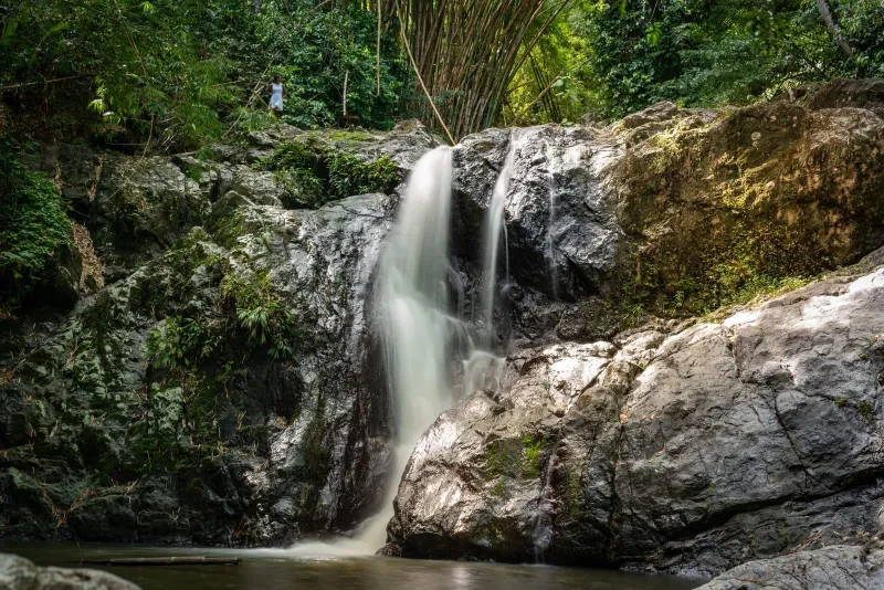
Rainforest canopy on the climb to Khao Pom, the island's highest trail
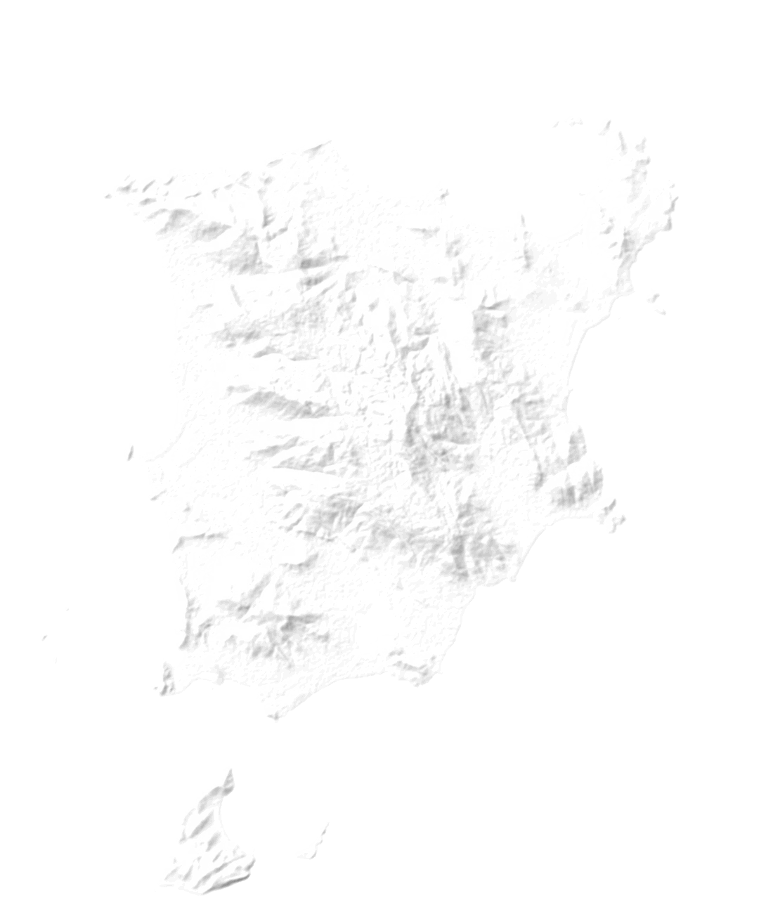
Behind every beach, Samui climbs into jungle: one granite dome, 632 m at the crest, laced with paths to waterfalls, hidden temples and ridge-top views. Here are all 24 trails we have walked and written up, from a ten-minute stroll to a guided six-hour summit, with what each one asks of you and what waits at the top.
Trail finder
Three questions
Tell us how long you have, how hard you want it and what you want at the top. Trails that do not fit step aside; open any one for its briefing: the climb, your day, what you will meet and a pack list built for it.
October on the trails
1How much time?
2How hard?
3What waits at the top?
No trail fits all three. Loosen one answer:
4hours5hours6hours
Summit
631m
1 Guide required Trail briefingNo. 1 Summit · 400 m and up
Khao Pom Koh Samui is the island's highest point at 635 m: a hard 8 km, 4-6 hour rainforest trek. Local guide required, 2,000-3,000 THB per group.
631 m up from sea level: about 210 floors of stairs
Out at 7:00, back around 12:00. The last hour gets hot: keep some water for it.
Best months
This is the hardest hike on Koh Samui by a significant margin.
After the walk
2hours2:15hours2:30hours
Summit
610m
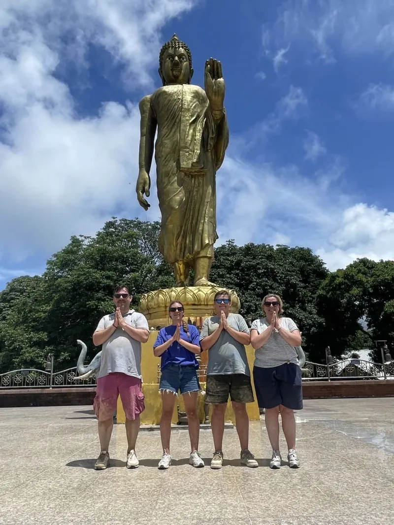 2
Trail briefingNo. 2 Summit · 400 m and up
Hike the Samui 360 Viewpoint Trail, a 4.3 km moderate trek from the Wat Teepangkorn Buddha statue to Koh Samui's highest panoramic viewpoint.
610 m up from sea level: about 203 floors of stairs
Out at 7:00, back around 9:15, long before the midday heat. An easy morning.
Best months
After the walk
3:30hours3:45hours4hours
Summit
515m
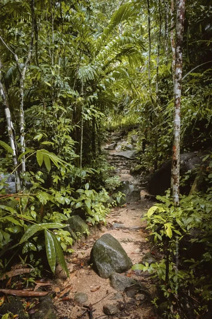 3
Trail briefingNo. 3 Summit · 400 m and up
Hike the Khao Phra Trail on Koh Samui, a ~10 km, 3.5-4 hour jungle trek through bamboo forest and tall trees rich with wildlife.
515 m up from sea level: about 172 floors of stairs
Out at 7:00, back around 10:45. The last hour gets hot: keep some water for it.
Best months
After the walk
3hours3:30hours4hours
Summit
448m
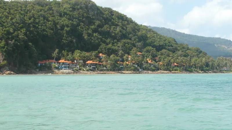 4 One way
Trail briefingNo. 4 Summit · 400 m and up
Hike to the Magic Garden on Samui: a hard ~10 km, 3-4 hour ridge trek from the Maenam viewpoint to the Secret Buddha Garden (about 80 THB entry).
28 m up from the 420 m trailhead: about 9 floors of stairs
Out at 7:00, back around 10:30, long before the midday heat. An easy morning.
Best months
After the walk
2hours2:30hours3hours
Summit
442m
 5
Trail briefingNo. 5 Summit · 400 m and up
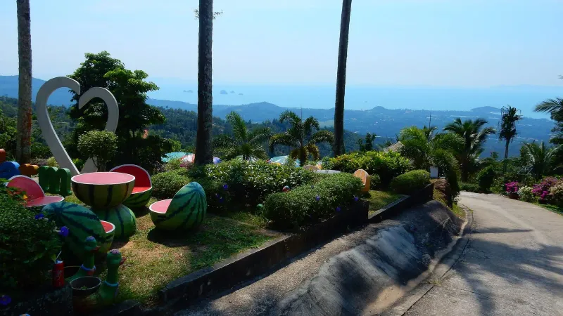
Hike the Sleeping Buddha Trail on Koh Samui: a ~90 minute moderate jungle trek beyond the Magic Garden to a golden reclining Buddha deep in the interior.
Starts high, at a 500 m trailhead: mostly downhill to the 442 m pin
Out at 7:00, back around 9:30, long before the midday heat. An easy morning.
Best months
The Sleeping Buddha Trail begins inside the Secret Buddha Garden complex in Koh Samui's central interior hills, above Baan Saket and northwest of Lamai.
After the walk
2hours3hours4hours
Ridge
285m
 6 One way
Trail briefingNo. 6 Ridge · 200-400 m
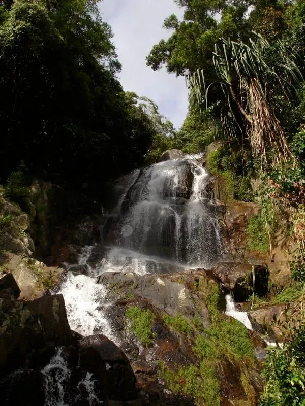
Nathon Mountain Ridge Trail on Koh Samui: 8 km to Zong Raue Waterfall or a 13.5 km valley loop, 200-450 m, hard and free. Route, timing, safety.
85 m up from the 200 m trailhead: about 28 floors of stairs
Out at 7:00, back around 10:00, long before the midday heat. An easy morning.
Best months
Falls flow
There are two established ways to walk the Nathon Mountain Ridge, and picking the right one matters more than any other planning decision.
After the walk
3:30hours4hours4:30hours
Ridge
231m
 7 One way
Trail briefingNo. 7 Ridge · 200-400 m
Hike the Grand Viewpoint Traverse on Koh Samui: a ~10.2 km, ~586 m highland route linking Khun Si Waterfall, multiple viewpoints, and a mountain restaurant.
231 m up from sea level: about 77 floors of stairs
Out at 7:00, back around 11:00. The last hour gets hot: keep some water for it.
Best months
Falls flow
After the walk
1hour1:30hours2hours
Ridge
231m
 8
Trail briefingNo. 8 Ridge · 200-400 m
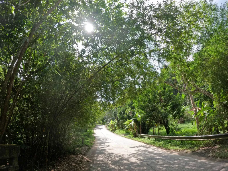
Khun Si Waterfall Trail: a steep 0.5km jungle descent near Bophut to tiered pools through durian plantations. Plan your Koh Samui hike today.
231 m up from sea level: about 77 floors of stairs
Out at 7:00, back around 8:30, long before the midday heat. An easy morning.
Best months
Falls flow
After the walk
45min2:10hours3:30hours
Foothill
166m
 9
Trail briefingNo. 9 Foothill · 50-200 m
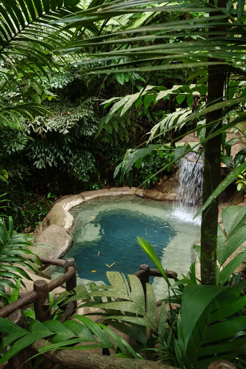
Hike the Tan Rua Trail on Koh Samui: an easy ~45-minute walk to the hidden Secret Falls, or an extended ~9.3 km jungle loop through the Maenam interior hills.
166 m up from sea level: about 55 floors of stairs
Out at 7:00, back around 9:08, long before the midday heat. An easy morning.
Best months
Falls flow
Parking at the trailhead costs roughly 20-50 THB, and the Tree Bridge zipline is a separate optional add-on priced around 1,600-1,700 THB per person.
After the walk
1:40hours2hours2:15hours
Foothill
164m
 10
Trail briefingNo. 10 Foothill · 50-200 m
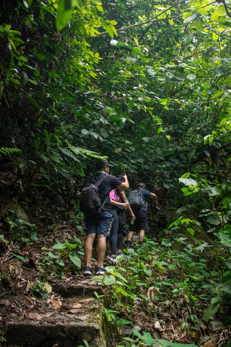
Hike the Hog Trail on Koh Samui: a 5.2 km forest loop in the northwest hills with 314 m elevation gain, a steep opening climb, and roughly 2 hours round trip.
164 m up from sea level: about 55 floors of stairs
Out at 7:00, back around 8:58, long before the midday heat. An easy morning.
Best months
After the walk
30min40min45min
Foothill
100m
 11
Trail briefingNo. 11 Foothill · 50-200 m
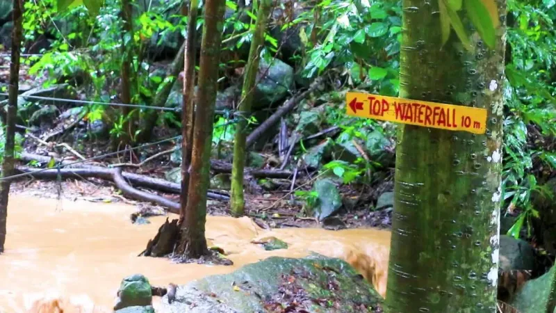
Walk the Wang Sao Thong Trail on Koh Samui, an easy ~1 km forest path near Hua Thanon leading to a quiet two-tier jungle waterfall in 8-10 minutes.
100 m up from sea level: about 33 floors of stairs
Out at 7:00, back around 7:38, long before the midday heat. An easy morning.
Best months
Falls flow
After the walk
10min15min15min
Foothill
70m
 12
Trail briefingNo. 12 Foothill · 50-200 m
Lamai Viewpoint on Koh Samui: ~300 steps or a cable car to the top, the heart-shaped Valentine Stone at the base, zipline and tickets from ~100 THB.
70 m up from sea level: about 23 floors of stairs
Out at 7:00, back around 7:13, long before the midday heat. An easy morning.
Best months
Falls flow
After the walk
1:30hours1:45hours2hours
Foothill
62m
 13
Trail briefingNo. 13 Foothill · 50-200 m
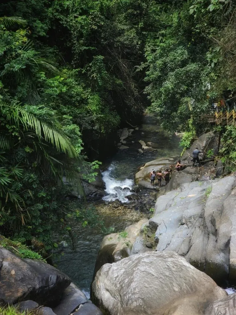
Experience the Tartain Waterfall Trek on Koh Samui. A challenging mountain hike featuring steep rope climbs, bamboo forests, and a hidden jungle swimming pool.
62 m up from sea level: about 21 floors of stairs
Out at 7:00, back around 8:45, long before the midday heat. An easy morning.
Best months
Falls flow
After the walk
3hours3:30hours4hours
Foothill
56m
 14
Trail briefingNo. 14 Foothill · 50-200 m
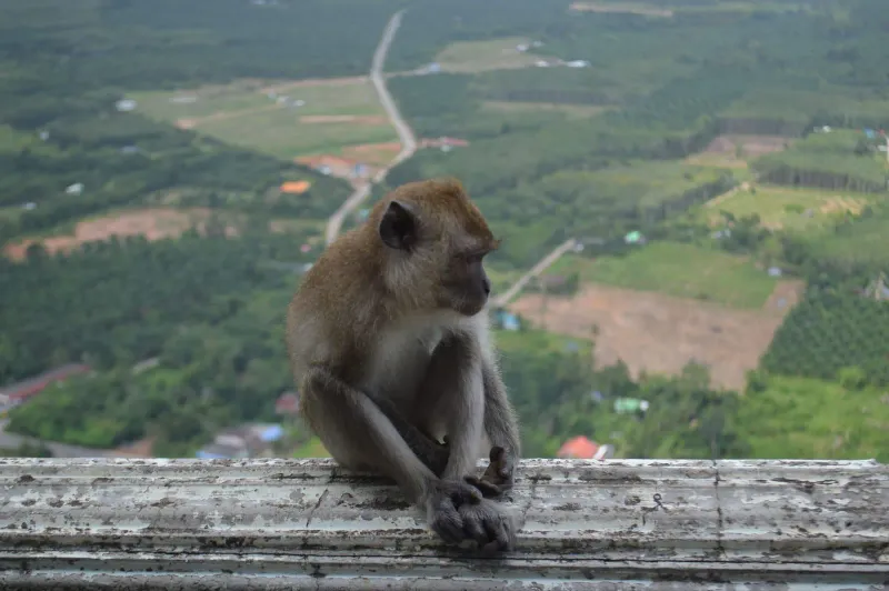
Hike Koh Samui's Monkey Trail network, moderate-hard jungle routes from 7 to 55+ km through the misty southern hills, home to the annual Samui Trail race.
56 m up from sea level: about 19 floors of stairs
Out at 7:00, back around 10:30, long before the midday heat. An easy morning.
Best months
After the walk
1:30hours1:45hours2hours
Foothill
56m
 15
Trail briefingNo. 15 Foothill · 50-200 m
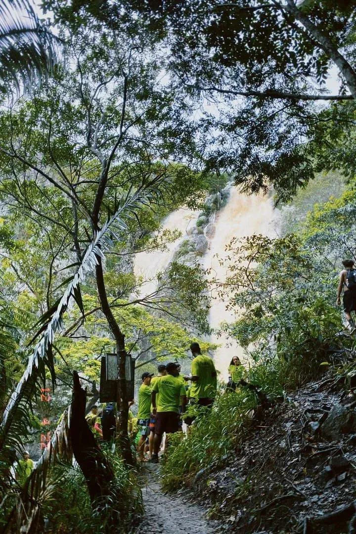
Hike Koh Samui's Na Muang Waterfalls Trail, a 3.9 km jungle trek to the Purple Waterfall pool and the island's tallest 80m cascade.
56 m up from sea level: about 19 floors of stairs
Out at 7:00, back around 8:45, long before the midday heat. An easy morning.
Best months
Falls flow
After the walk
20min30min40min
Shore
27m
 16
Trail briefingNo. 16 Shore · 0-50 m
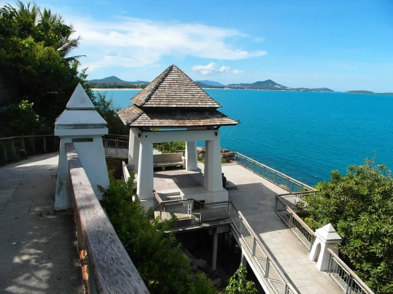
Lad Koh Viewpoint sits on Koh Samui's ring road between Chaweng and Lamai, an easy 20-40 min walk to views over Chaweng Bay. Free entry, best at sunrise.
27 m up from sea level: about 9 floors of stairs
Out at 7:00, back around 7:30, long before the midday heat. An easy morning.
Best months
After the walk
1:30hours1:45hours2hours
Shore
26m
 17
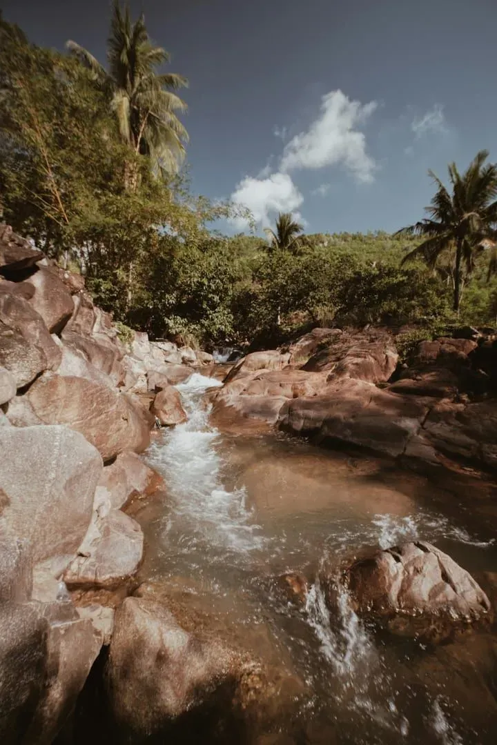
Trail briefingNo. 17 Shore · 0-50 m
Hin Lad waterfall hike on Koh Samui: about 2.6 km round trip, 130 m climb, 30-40 min uphill from a free temple trailhead to cascades and swimming pools.
26 m up from sea level: about 9 floors of stairs
Out at 7:00, back around 8:45, long before the midday heat. An easy morning.
Best months
Falls flow
After the walk
30min45min1hour
Shore
17m
 18
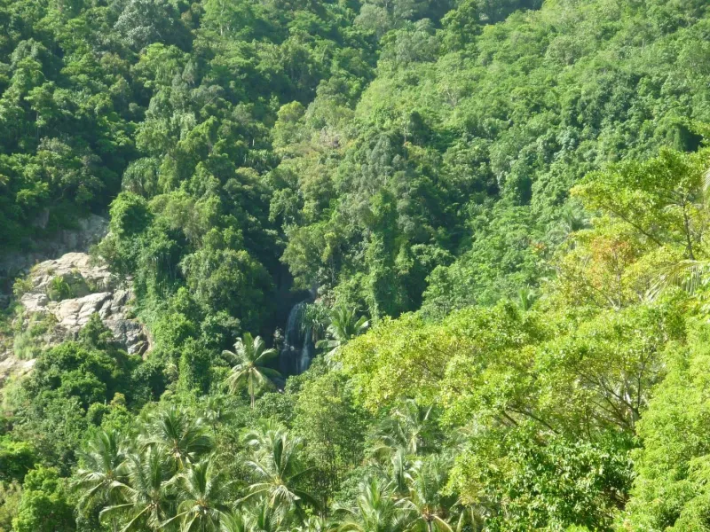
Trail briefingNo. 18 Shore · 0-50 m
Overlap Stone Samui is a 0.5 km, 15-20 minute climb above Lamai: turn off at Wat Sila Ngu, pay ~200-300 THB, hike or take the free truck to the top.
17 m up from sea level: about 6 floors of stairs
Out at 7:00, back around 7:45, long before the midday heat. An easy morning.
Best months
After the walk
2hours2:45hours3:30hours
Shore
16m
 19
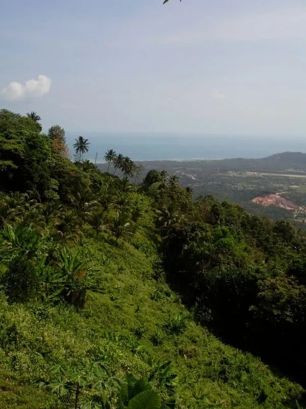
Trail briefingNo. 19 Shore · 0-50 m
Hike the Khao Nui Loop on Koh Samui, an ~8.7 km forest circuit near Secret Buddha Garden. A moderate ~2 hour trail ideal for solo hikers and bird watching.
16 m up from sea level: about 5 floors of stairs
Out at 7:00, back around 9:45, long before the midday heat. An easy morning.
Best months
After the walk
1hour1:30hours2hours
Shore
16m
 20
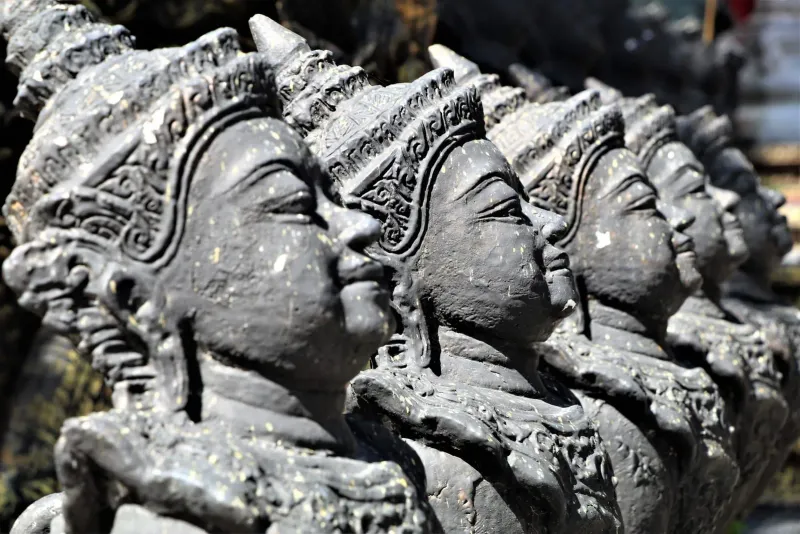
Trail briefingNo. 20 Shore · 0-50 m
The Secret Buddha Garden hike on Koh Samui is a ~1-2 hour jungle climb to the Tarnim Magic Garden. Trail, 4WD road, entry fee (~80 THB) and best time.
Starts high, at a 100 m trailhead: mostly downhill to the 16 m pin
Out at 7:00, back around 8:30, long before the midday heat. An easy morning.
Best months
After the walk
1hour1:15hours1:30hours
Shore
13m
 21
Trail briefingNo. 21 Shore · 0-50 m
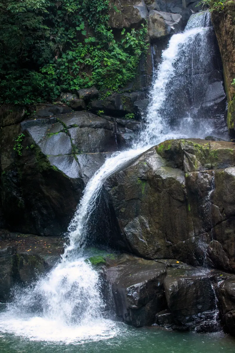
Explore the Lardwanorn Waterfall Loop (Lat Wanon) on Koh Samui. Discover a tiered jungle cascade, steep rocky trails, and panoramic views away from the crowds.
13 m up from sea level: about 4 floors of stairs
Out at 7:00, back around 8:15, long before the midday heat. An easy morning.
Best months
Falls flow
After the walk
40min50min1hour
Shore
5m
 22
Trail briefingNo. 22 Shore · 0-50 m
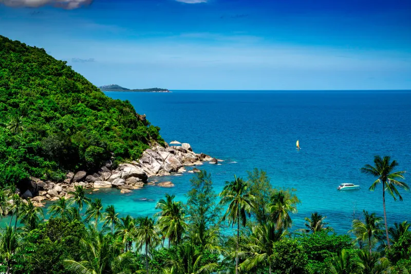
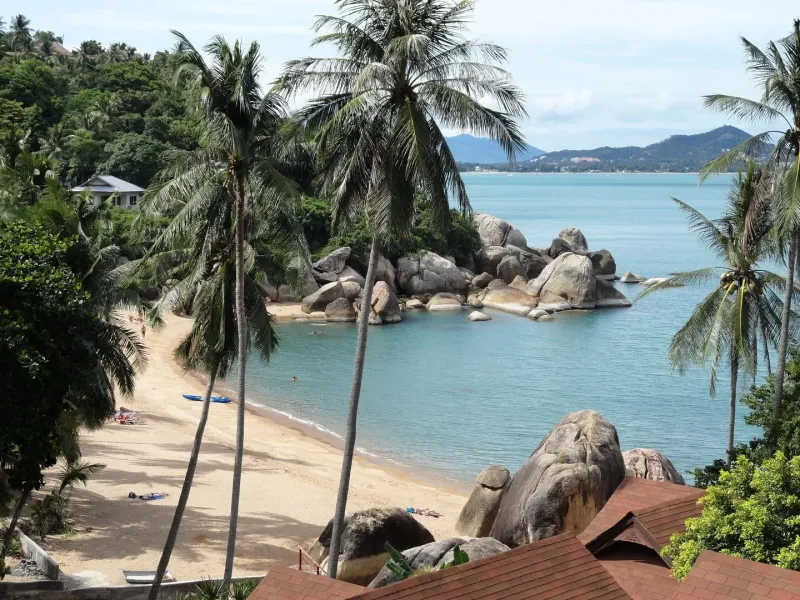
Walk the ~1.5 km granite boulder route from Coral Cove to Silver Beach on Koh Samui's east coast: hidden coves, snorkeling, and low-tide scrambling.
5 m up from sea level: about 2 floors of stairs
Out at 7:00, back around 7:50, long before the midday heat. An easy morning.
Best months
There is no official signage or blazed trail: this is a self-guided coastal walk, not a maintained hiking path, so a downloaded map pin for each beach is more useful than trying to follow markers.
After the walk
30min40min45min
Boat trip
by boat
 23 Boat trip
Trail briefingNo. 23 Boat trip · by boat
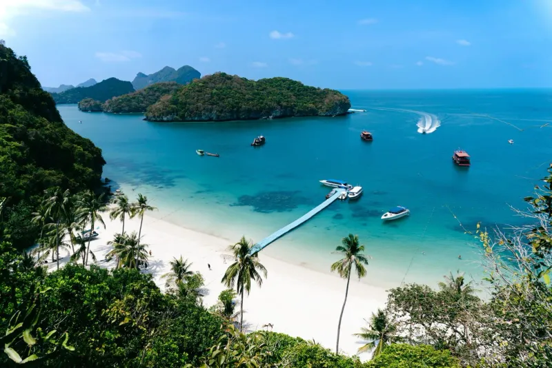
Emerald Lake on Koh Mae Ko is a day tour from Koh Samui: 400-500 steps to the viewpoint, tours from 1,200 THB, park closed about 1 Nov to mid-Dec.
The marine park islands sit outside our terrain model, so there is no height for them. Expect about 400-500 steps, steep and with railings.
A boat day: tours leave in the morning and the park closes at 17:00. The climb itself is short and steep, up a long flight of steps.
Best months
30min40min45min
Boat trip
by boat
 24 Boat trip
Trail briefingNo. 24 Boat trip · by boat
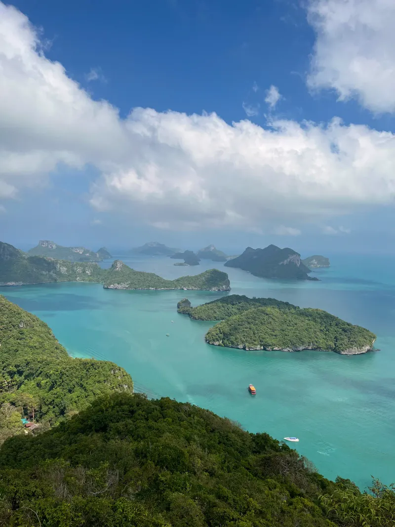
Climb ~500 steps to the Ang Thong Wua Talab Viewpoint on a Koh Samui day trip: views of 42 islands, Bua Bok Cave and boat tours from Nathon Pier.
The marine park islands sit outside our terrain model, so there is no height for them. Expect about 500 steps, steep and with railings.
A boat day: tours leave in the morning and the park closes at 17:00. The climb itself is short and steep, up a long flight of steps.
Best months
The climb
To scale
Samui is a single granite dome. Every trail starts near the sea, and how far up it goes predicts the rest of your day: the heat, the water you carry, the shoes you need. Each flag is a trail, planted at the height we measured at its pin.
Shore0-50 m
Flat, sea-level walks you could do barefoot, with nothing above 50 m to climb.
20 min to 3 h 30 min on foot
Foothill50-200 m
A short rise into the foothills, enough incline to want closed shoes and a bottle of water.
10 min to 4 h on foot
Ridge200-400 m
A real climb into the ridgeline forest: an hour or more of sustained gradient and a liter of water.
1 h to 4 h 30 min on foot
Summit400 m and up
A half day or more of climbing above 400 m, proper footwear, and for one trail a guide.
2 h to 6 h on foot
Swipe for all four tiers
Field notes
Honest, not scary
Nothing here is a reason to stay on the beach. It is the difference between a great day and a long one, drawn from what our own trail guides say.
Take it seriously
The real boss of every trail. By late morning the forest holds the heat like a greenhouse, and the climb doubles it.
Start before 8, drink before you are thirsty, turn round early.
Hottest: Lamai Viewpoint, Nathon Mountain Ridge Trail, Magic Garden Hike
Take it seriously
Wet granite by the falls is slick as soap, and most slips happen on the way down, when legs are tired.
Sit and slide down wet rock, never jump it.
Slickest: Na Muang Waterfalls Trail, Nathon Mountain Ridge Trail, Tartain Waterfall Trek
Part of the fun
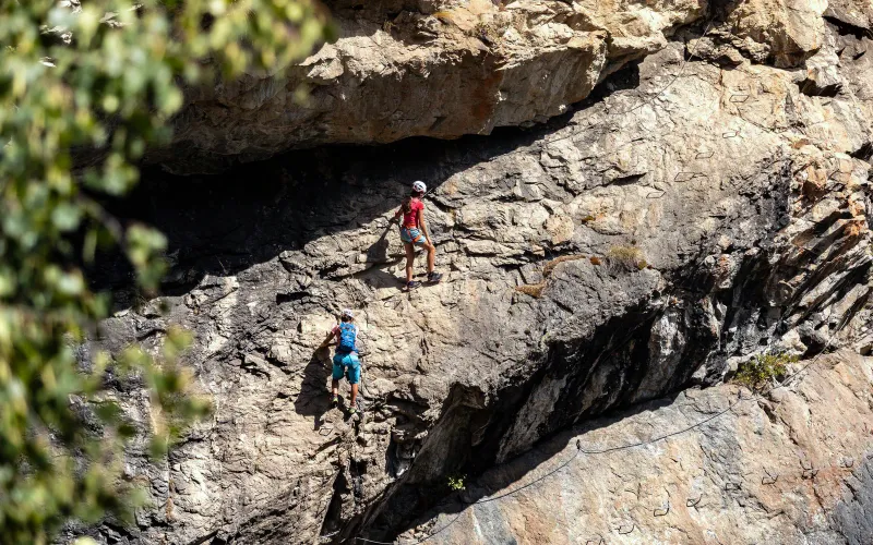
Fixed ropes up to Na Muang 2 and Tartain, boulder hops round Coral Cove. Hands on rock is the best bit.
Test each rope, keep three points on the rock.
Ropes on: Na Muang Waterfalls Trail, Tartain Waterfall Trek, Coral Cove to Silver Beach
Mostly harmless
Harmless and a little gross, out on the forest floor after rain. Khao Pom is their capital.
Trousers tucked into long socks, check your ankles.
Most on: Khao Pom, Tartain Waterfall Trek
Mostly harmless
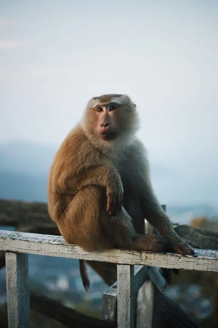
Macaques work the viewpoints, and a few trailheads cross farms with loose dogs that bark more than they bite.
Food zipped away. A walking pole earns a wide berth.
Monkeys on: Monkey Trail, Khao Phra Trail
Rarely seen
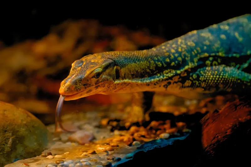
Only one of our trail guides mentions them, on Khao Pom. They want to meet you even less than you want to meet them.
Stay on the path, look before you grab a branch.
Mentioned on: Khao Pom
Plan around it
The Coral Cove to Silver Beach scramble runs along the waterline. At high tide, the route is the sea.
Go at low to mid tide, ideally in the morning.
Only on: Coral Cove to Silver Beach
Plan around it
Some trails fade into the forest, and the interior drops your phone signal right when you want the map.
Save an offline map before you leave the coast road.
Unmarked: Tan Rua Trail, Khao Pom, Nathon Mountain Ridge Trail
Take it seriously
17 of 24 trails
October to December brings most of the year's rain: 295 mm in October, 445 mm in November. Dirt turns to clay and streams rise fast.
Check the forecast. Turn back at a rising crossing.
Dirt or mixed ground on 17 trails
Good to know
8 of 24 trails
Only Khao Pom requires one. 7 more recommend a guide, mostly because the path is easy to lose.
Khao Pom guides charge about 2,000-3,000 THB.
Recommended: Khao Phra Trail, Magic Garden Hike, Sleeping Buddha Trail
Swipe for all ten field notes
When to go
Month by month
December to February is cool and dry enough for the summits. The waterfalls want the rain that starts in September. Tap a month to see what it does to the trails.
January
At their best: 20 trails
Waterfalls running: 8 of 9
February
At their best: 22 trails
Waterfalls running: 6 of 9
March
At their best: 12 trails
Waterfalls running: 2 of 9
April
At their best: 11 trails
Waterfalls running: 0 of 9
May
At their best: 3 trails
Waterfalls running: 2 of 9
June
At their best: 3 trails
Waterfalls running: 3 of 9
July
At their best: 3 trails
Waterfalls running: 4 of 9
August
At their best: 2 trails
Waterfalls running: 6 of 9
September
At their best: 1 trail
Waterfalls running: 8 of 9
October
At their best: 2 trails
Waterfalls running: 9 of 9
November
At their best: 4 trails
Waterfalls running: 9 of 9
December
At their best: 21 trails
Waterfalls running: 8 of 9
Flow is a pattern from rainfall records, not a live report: a dry spell in a wet month still runs low.
The map
Where they lead
22 trails on Samui itself, pinned where they lead: the fall, the temple or the top. Tap a pin for the trail, or light up one tier.
22 hikes dashed: one-way trails
Off the island
Forty-two islands a boat ride north-west of Samui, with two short, steep climbs that end at the view everyone photographs.
Boat only, from Nathon or Bang Rak. Park fee 300 THB. Closed about 1 November to mid-December.
Nearest beach
Nearest waterfall
Nearest temple
Swipe for falls and temples
Good to know
Before you start climbing
Each height is sampled from terrain data at the exact coordinate pinned on the trail's article, not taken from the article's prose. Checking that way caught two trails whose published summit figures were off by more than 150 m.
The island's measured crest is 632 m. The highest trail pin in this set reaches 515 m, on Khao Phra.
Khao Pom, in the summit tier. It is the one trail on this page that requires a guide, and its own article calls it the hardest hike on the island by a significant margin.
Yes. The four shore-tier trails stay under 50 m, and the coastal walk to Coral Cove and Silver Beach barely climbs at all.
Only Khao Pom requires one. Several ridge and summit trails recommend a guide for navigation, and the rest are walkable alone with an offline map.
December through February is coolest and driest for most trails. November is the wettest month, with October close behind, so skip those for ridge and summits. Waterfall trails are the exception: they need wet-season flow, roughly June through December.
Yes: 24 trails, from shore walks under 50 m to ridge and summit climbs toward the 632 m crest. Every trail starts near the sea, and the tier shows how far up it goes. Waterfall trails are the easiest way to combine a hike with a swim.