Wang Sao Thong Trail: Koh Samui's Easiest Waterfall Walk
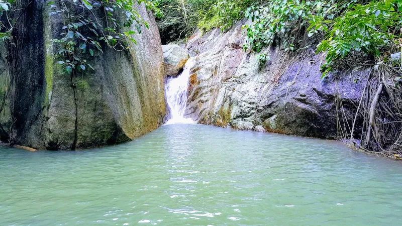
One of Wang Sao Thong's shallow, clear pools: perfect for a cooling dip.
Updated July 11, 2026
11 min read
Walk the Wang Sao Thong Trail on Koh Samui, an easy ~1 km forest path near Hua Thanon leading to a quiet two-tier jungle waterfall in 8-10 minutes.
30min40min45minthere and backFoothill100m at the top
Trail card
The trail at a glance
Your pace
Distance
2 km round trip
Height
100 mmeasured at the pin, 100 m of climbing
Ground
Dirt path
Shape
Out and back
Entry
Free
Guide
Not needed
Shade
Most of the way
Time
30 min - 45 min
EffortEasy
Your pack1 litre of waterClosed shoes with gripMosquito repellentPacking list
Contents01 Overview02 Trail Details03 The Walk04 Terrain & Difficulty05 Flora & Fauna06 The Waterfall07 Getting There08 Best Time to Hike09 What to Bring10 Safety11 Nearby Attractions12 Who Is It Best For?13 FAQ
The Wang Sao Thong Trail (น้ำตกวังสาวทอง) is the shortest, easiest waterfall walk on Koh Samui’s south side: a well-shaded forest path of roughly 1 km that starts just off the ring road near Ban Hua Thanon and ends at a quiet, two-tier cascade almost nobody visits. Where the island’s famous Na Muang trail demands nearly two hours of climbing, this one takes 8 to 10 minutes each way at a stroll, making it a realistic add-on to any south-coast day rather than a dedicated hiking trip.
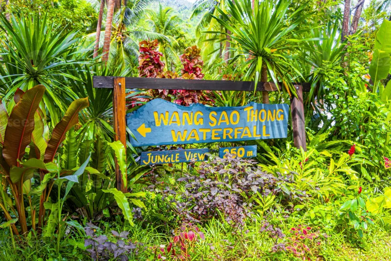
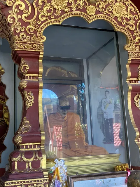
The trailhead sits inland from the coastal ring road, off Route 4169 near Wat Khunaram (the Mummified Monk Temple), in a pocket of jungle that belongs to the Na Mueang subdistrict. Because it is neither signposted from the main tourist circuit nor promoted the way Na Muang Waterfalls is, most visitors who make the short walk have it largely to themselves.
This guide focuses on the walk itself: what the trailhead looks like, how rough the path gets, and how to find it. For a full breakdown of the pools, swimming conditions and seasonal water flow, see our dedicated Wang Sao Thong Waterfall guide.
02
Trail Details
Distance
~1 km one-way, ~2 km round trip
Time
8-10 minutes each way at an easy pace; 30-45 min total with photos and a dip
Difficulty
Easy: short and mostly flat, with a few uneven, root-crossed stretches
Trail type
Out-and-back, single path
Surface
Packed dirt and leaf litter, some exposed roots and loose stones near the falls
Markings
Minimal: one path in, same path out, hard to get lost
Entry fee
Free
Parking
~20-30 THB per car or bike at the trailhead lot
Facilities
A small drinks/snack stand at the parking area; nothing on the trail itself
Because the whole outing rarely takes more than 45 minutes including the swim, Wang Sao Thong pairs naturally with a longer day around the island’s south interior rather than standing alone as a destination.
03
The Walk to Wang Sao Thong Waterfall
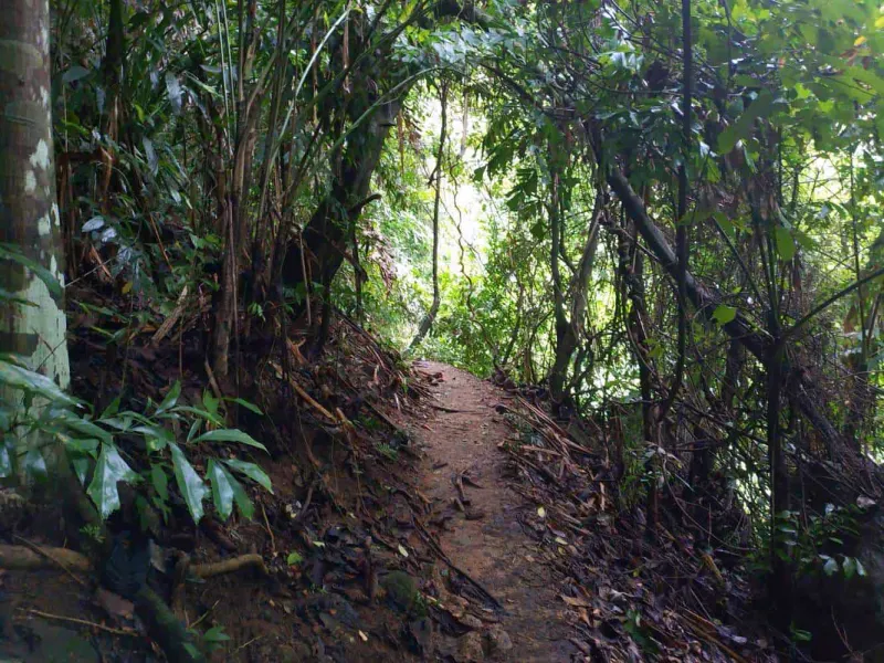
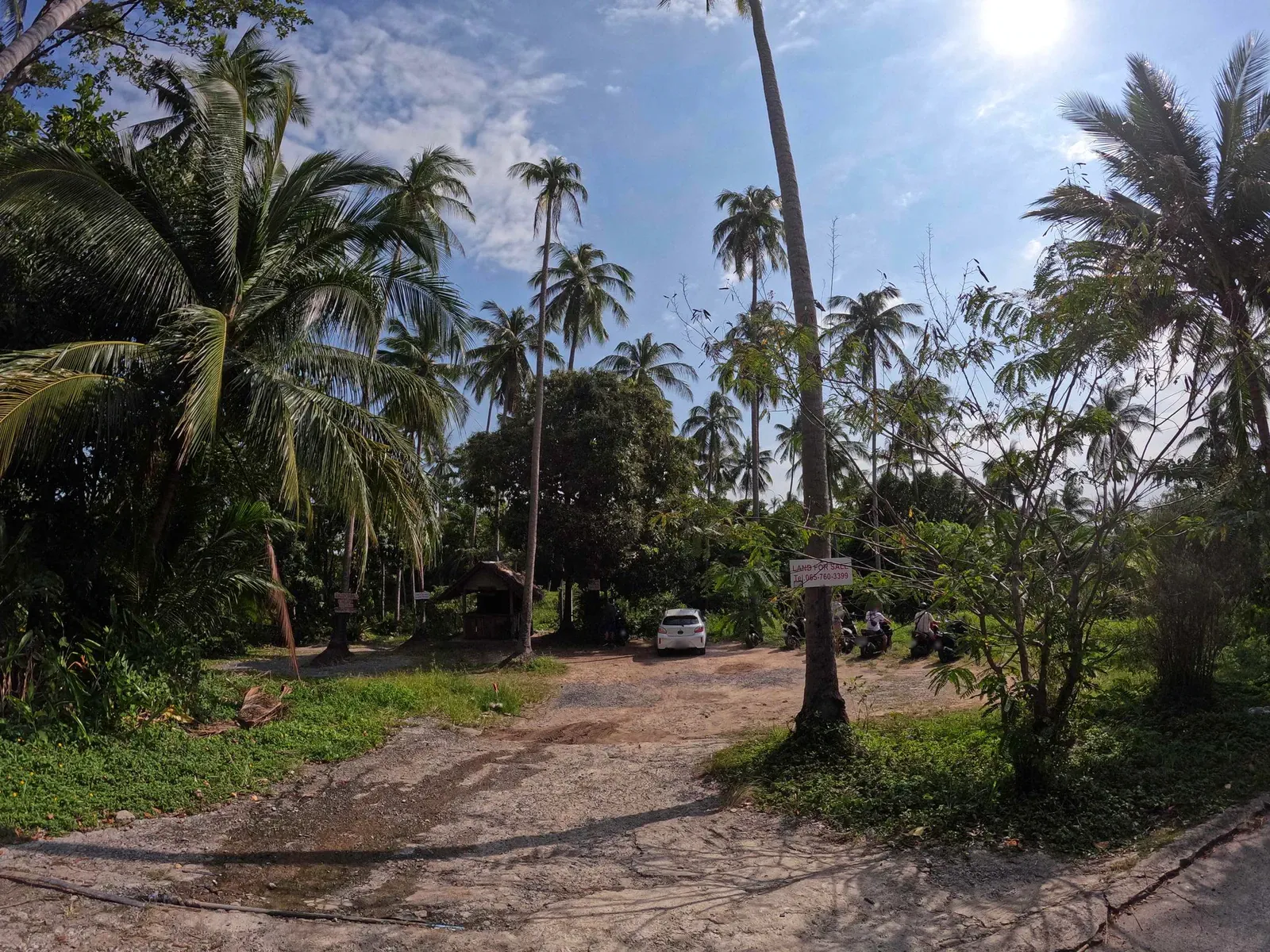
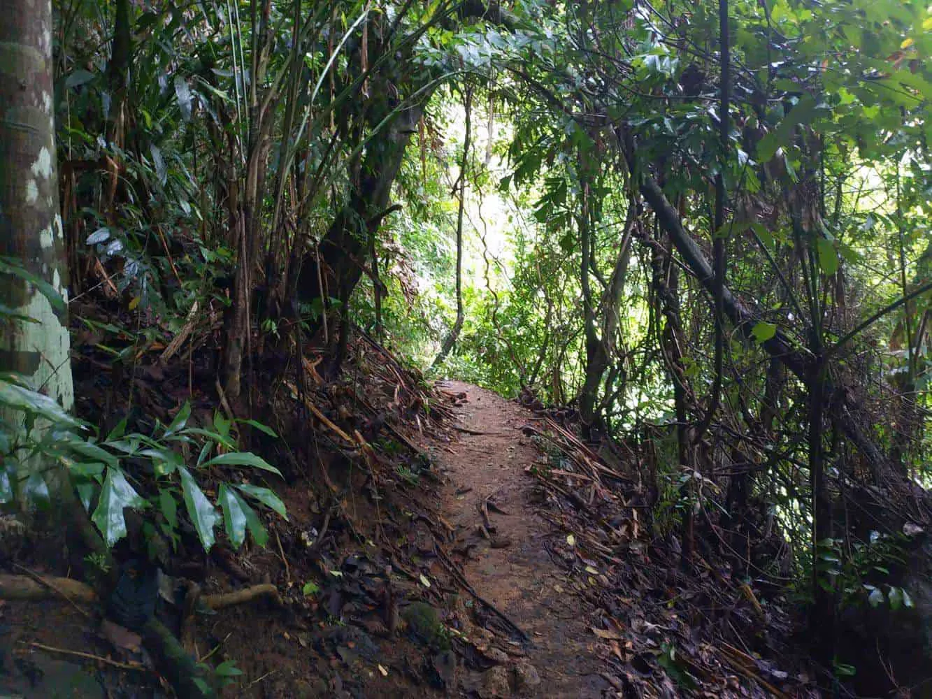
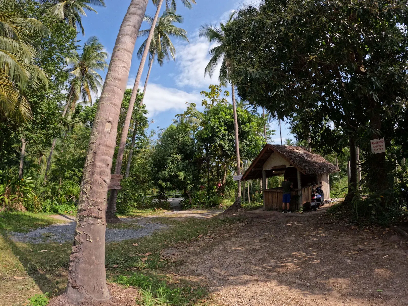
From the small dirt parking area, a single dirt path leads away from the road and drops gently into the tree line. There is no ticket booth and no gate: just a track worn into the ground by the visitors and local families who already know it. Within a minute or two the ring road noise disappears, replaced by cicadas, dripping leaves and, gradually, the sound of moving water.
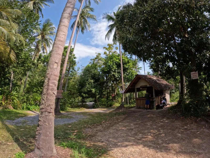
The small parking hut and dirt lot where the trail begins
The path follows the natural contour of the land rather than climbing a hillside, so there is no serious elevation change to worry about. It narrows in places where roots and rocks bulge up through the dirt, then widens again into open jungle floor carpeted in dry leaves. Because the whole route sits under a closed forest canopy, it stays noticeably cooler than the open ring road even at midday.
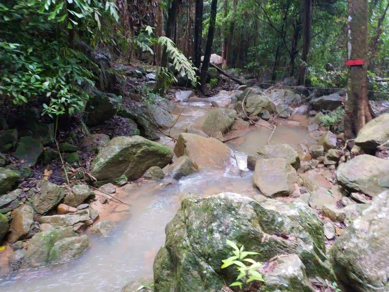
About two-thirds of the way in, the sound of falling water becomes constant, and the trail bends to follow a small stream downhill toward the first of the waterfall’s two tiers. There is no scrambling and no rope-assisted section here: unlike the upper tiers at Na Muang 2, Wang Sao Thong stays a walk rather than a climb from start to finish.
04
Terrain and Difficulty
Wang Sao Thong is genuinely one of the easiest waterfall walks on Koh Samui, but “easy” does not mean paved. The path is unsealed dirt for its entire length, and a few honest cautions apply:
Exposed rootsCross the trail at several points and are easy to catch a toe on if you are looking at your phone instead of the ground.
Loose stonesAppear in patches, especially in the final stretch closest to the falls.
Mud and slick leaf litterShow up quickly after rain, turning an easy stroll into a genuinely slippery one.
No handrails or stepsThis is a natural forest floor, not a maintained park path.
None of this makes the trail difficult in absolute terms; most visitors in ordinary sneakers manage it without trouble. But closed-toe shoes with some grip are worth the extra 30 seconds it takes to put them on, particularly if you plan to visit during or just after the rainy season.
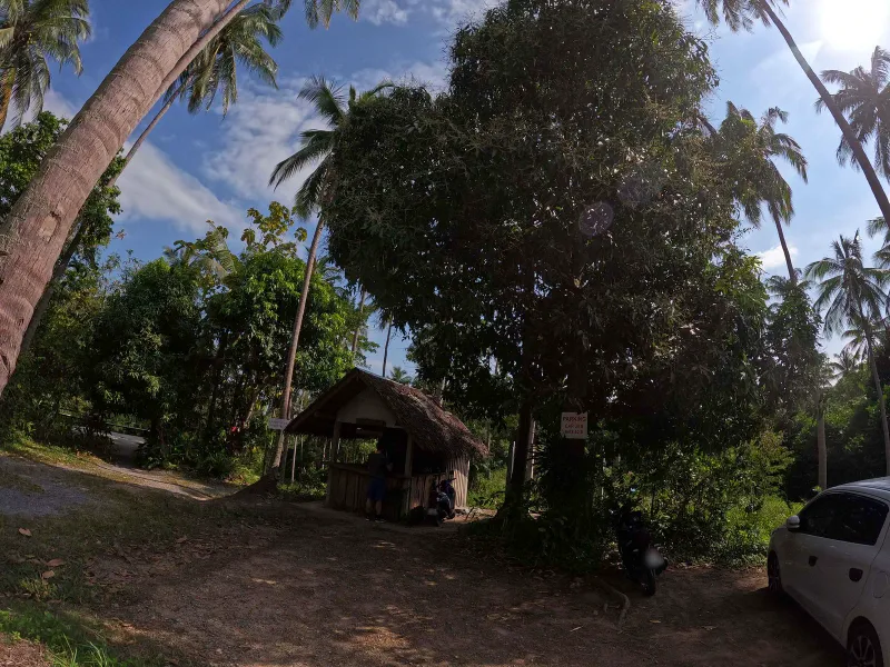
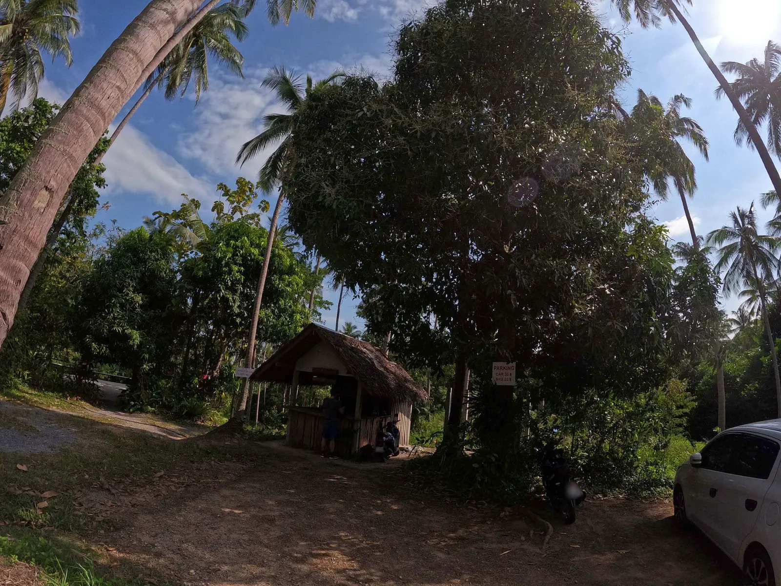
The dirt lot at the trailhead, with parked scooters and a car under the palms
05
Flora, Fauna and Jungle Sounds
The short distance means Wang Sao Thong never quite reaches the primary-forest feel of a longer trek like Na Muang or Hin Lad, but the vegetation right along the path is still dense and clearly tropical: broad-leafed understory plants, tangled vines, and the occasional stand of bamboo arching over the trail.
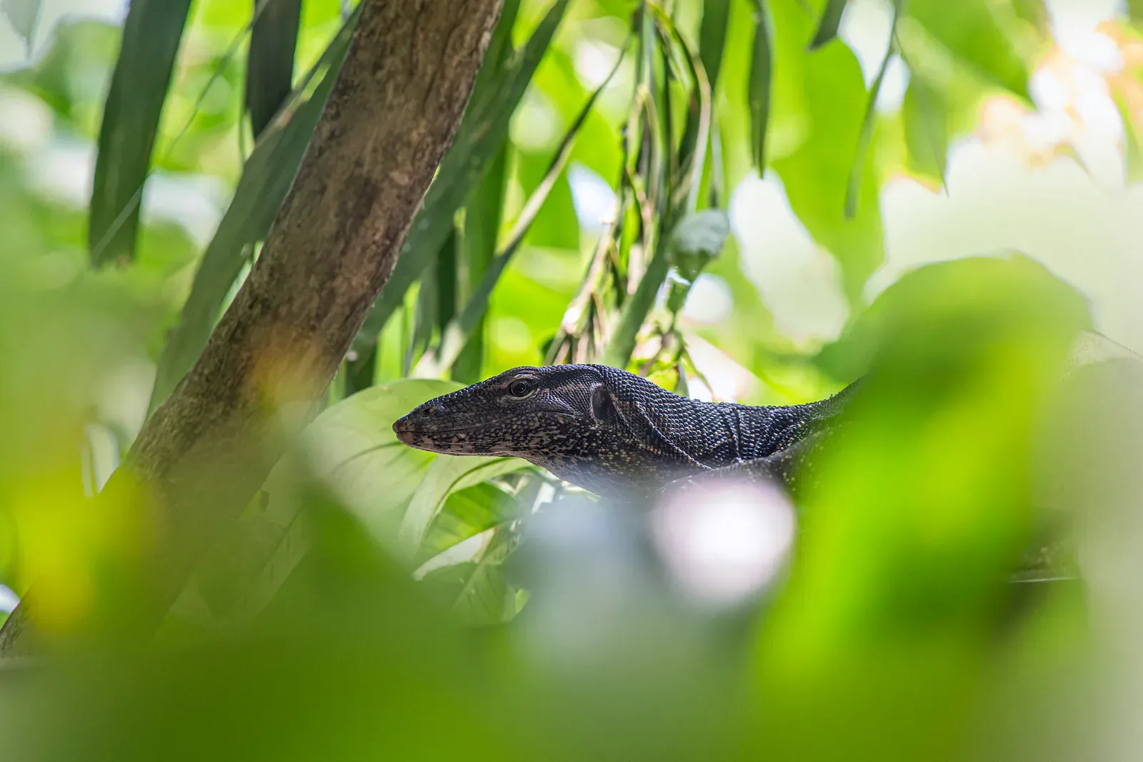
Because the walk is so brief, wildlife spotting is more a bonus than the main draw here: the appeal is the low effort-to-reward ratio, not a deep jungle immersion.
06
The Waterfall at the End of the Trail
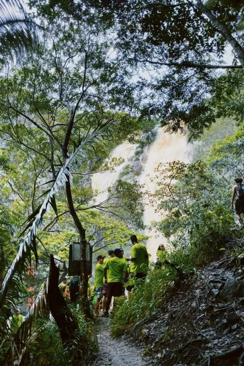
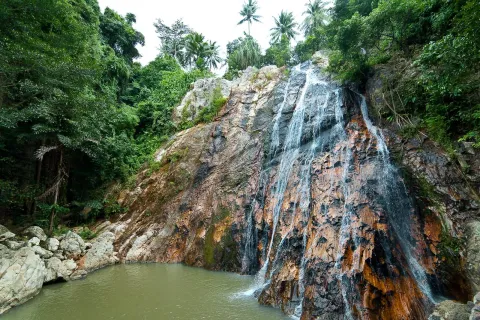
The path ends at Wang Sao Thong Waterfall, a modest two-tier cascade dropping over rounded boulders into a shallow natural pool. It is smaller and less powerful than Na Muang or Hin Lad, which is exactly why it stays quiet: most tour groups skip it in favor of the bigger names nearby.
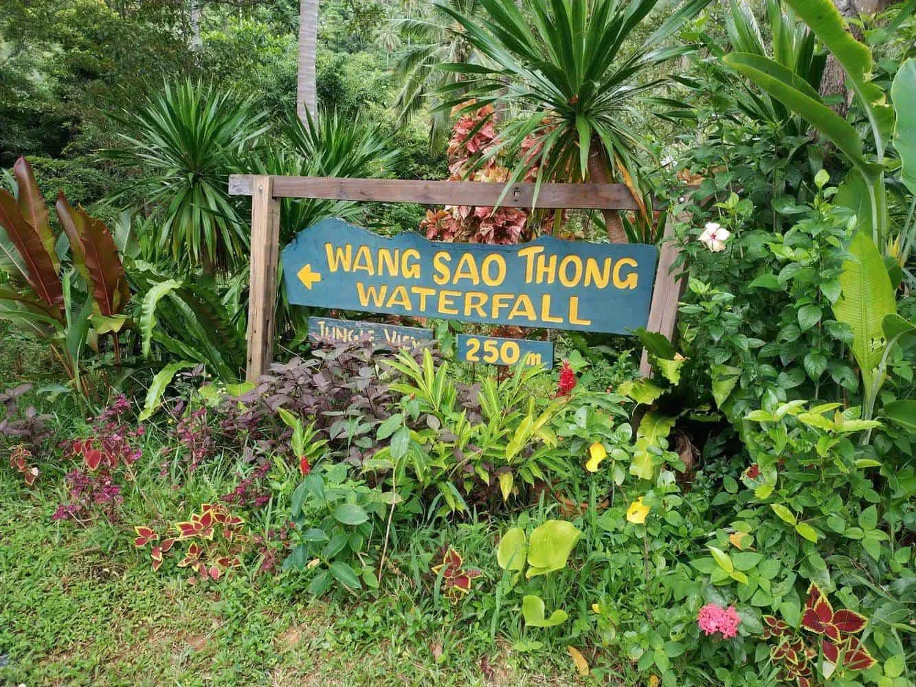
Both tiers are informally signposted, and a small shaded pool at the base is usually shallow enough for wading and a quick cool-down rather than serious swimming. Flat boulders around the pool double as places to sit and rest before the walk back.
Because the pools, seasonal water flow, and swimming conditions are covered in depth elsewhere on this site, we won’t repeat all of it here: read the full Wang Sao Thong Waterfall guide for details on depth, safety around the rocks, and what the falls look like across the seasons.
Wang Sao Thong Waterfall: the trail's quiet, two-tier reward.
07
Getting to the Trailhead
Location
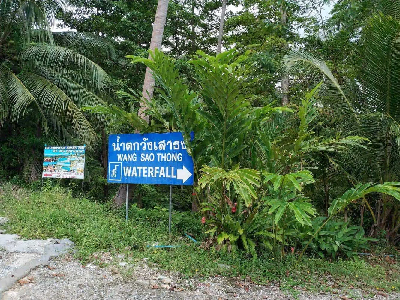
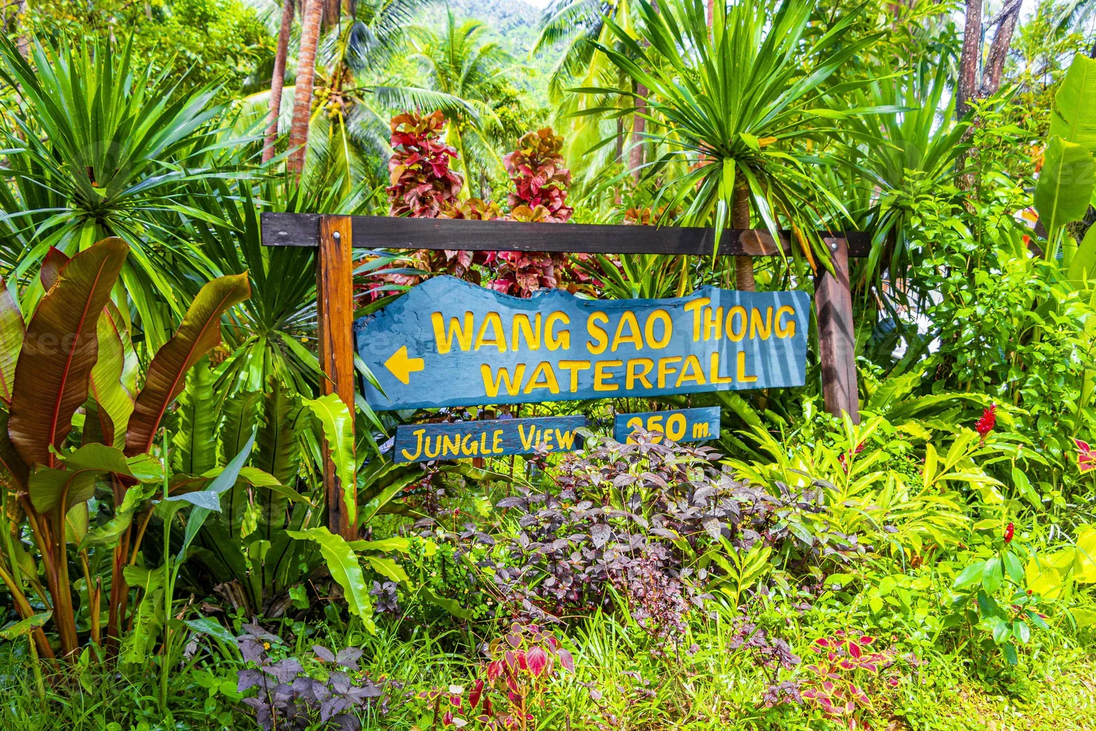
The trailhead sits off Route 4169, the ring road that circles Koh Samui, in the Na Mueang area just inland from Ban Hua Thanon on the southeast coast. Coming from the ring road, small hand-painted signs mark the turnoff toward the mountains; the paved side road ends at a dirt parking area where the trail begins. You can view the approximate trailhead location on Google Maps.
Taxis on Koh Samui do not use meters, so agree on a price before setting off, and consider asking your driver to wait: the trailhead is remote enough that flagging down a return ride is not guaranteed.
Transport
ScooterThe easiest option for most travelers. Rental runs roughly 150-200 THB per day; follow Route 4169 signage toward Wat Khunaram, then watch for the small turnoff signs.
CarFine for the paved approach road, though the final stretch narrows and can be steep in short sections.
Taxi or songthaewWorkable but negotiate the fare and a wait time in advance.
08
Best Time to Hike
Rain, mmStrong flowGood flowDry
Cool & dry
Hot & dry
Rainy / post-rainy
JanuaryCool & dry, Jan-Feb
Trail Conditions
Firm, pleasant walking
Waterfall Flow
Moderate
Rain
125 mm, over 8 days
Midday
29°C, 83% humidity
FebruaryCool & dry, Jan-Feb
Trail Conditions
Firm, pleasant walking
Waterfall Flow
Moderate
Rain
65 mm, over 4 days
Midday
29°C, 81% humidity
MarchHot & dry, Mar-Aug
Trail Conditions
Dry, easiest footing
Waterfall Flow
Reduced, sometimes a trickle
Rain
115 mm, over 5 days
Midday
30°C, 81% humidity
AprilHot & dry, Mar-Aug
Trail Conditions
Dry, easiest footing
Waterfall Flow
Reduced, sometimes a trickle
Rain
85 mm, over 6 days
Midday
32°C, 81% humidity
MayHot & dry, Mar-Aug
Trail Conditions
Dry, easiest footing
Waterfall Flow
Reduced, sometimes a trickle
Rain
130 mm, over 11 days
Midday
33°C, 80% humidity
JuneHot & dry, Mar-Aug
Trail Conditions
Dry, easiest footing
Waterfall Flow
Reduced, sometimes a trickle
Rain
135 mm, over 10 days
Midday
33°C, 78% humidity
JulyHot & dry, Mar-Aug
Trail Conditions
Dry, easiest footing
Waterfall Flow
Reduced, sometimes a trickle
Rain
115 mm, over 11 days
Midday
32°C, 78% humidity
AugustHot & dry, Mar-Aug
Trail Conditions
Dry, easiest footing
Waterfall Flow
Reduced, sometimes a trickle
Rain
100 mm, over 10 days
Midday
32°C, 78% humidity
SeptemberRainy / post-rainy, Sep-Dec
Trail Conditions
Muddy, slippery in places
Waterfall Flow
Strong, full two-tier flow
Rain
120 mm, over 11 days
Midday
32°C, 80% humidity
OctoberRainy / post-rainy, Sep-Dec
Trail Conditions
Muddy, slippery in places
Waterfall Flow
Strong, full two-tier flow
Rain
295 mm, over 16 days
Midday
31°C, 85% humidity
NovemberRainy / post-rainy, Sep-Dec
Trail Conditions
Muddy, slippery in places
Waterfall Flow
Strong, full two-tier flow
Rain
445 mm, over 16 days
Midday
30°C, 86% humidity
DecemberRainy / post-rainy, Sep-Dec
Trail Conditions
Muddy, slippery in places
Waterfall Flow
Strong, full two-tier flow
Rain
265 mm, over 12 days
Midday
29°C, 83% humidity
If the waterfall itself is the goal, aim for the tail end of the rainy season. If you just want a short, shaded stroll away from the beach crowds, the trail works in any month. See the broader seasonal picture for the island’s waterfall trails on AllTrails. Early morning, before 10 AM, avoids both the day’s peak heat and the handful of tour vans that occasionally stop by.
09
What to Bring
There is no need to pack a full day bag for this one: it is closer to a 45-minute detour than a hike requiring supplies.
10
Safety on the Trail
Wang Sao Thong carries none of the cliff-edge risk associated with Na Muang 2’s upper tiers, but a few sensible precautions still apply:
RainAvoid the trail during or immediately after heavy rain. The dirt path turns slick and the stream can rise quickly.
FootingWatch for roots and loose stones rather than the phone in your hand; most minor injuries on short jungle trails come from simple trips.
SwimmingCheck the depth and look for submerged rocks before stepping into the base pool; it is shallow rather than a diving spot.
Solo visitsThe trail is short and low-traffic, so it’s fine to walk alone, but let someone know your plan since it is quiet enough that you may not see other visitors.
ChildrenSuitable for children old enough to walk the distance themselves and mind their footing near the pool; not stroller-friendly.
11
Nearby Attractions
The trail’s short length makes it easy to fold into a longer south-coast itinerary:
Koh Samui’s tallest waterfall and its most demanding hike, about 10-15 minutes’ drive away, for anyone who wants a bigger adventure the same day.
Hua Thanon fishing village
A working Muslim fishing community on the coast, a short drive from the trailhead, known for its morning market and boats.
Lamai Beach
The nearest major beach for lunch or an afternoon by the sand after the walk.
12
Who Is This Trail Best For?
Families with young kidsShort, flat-ish, low risk, and quick enough to avoid meltdowns
Casual touristsReal jungle-and-waterfall experience for under an hour, no fitness required
PhotographersA pleasant but modest subject compared to Na Muang or Hin Lad
Serious hikersToo short to register as a “hike” on its own
Budget travelersFree entry, minimal parking fee, no guide needed
Solo travelersEasy and low-risk, though quiet enough to bring a charged phone
Mobility limitedUnpaved and root-crossed; not wheelchair or stroller accessible
If Wang Sao Thong sounds too short on its own, its close neighbor Na Muang offers the elevation, scrambling and taller waterfall this trail deliberately avoids: many visitors do both in a single south-coast day, starting with the easy walk here before tackling the longer trek.
13
FAQ
How long is the Wang Sao Thong Trail?
The trail runs approximately 1 km one-way from the parking area to the waterfall, about 2 km round trip. Most visitors cover it in 8 to 10 minutes each way, making the whole outing, including a short swim, around 30 to 45 minutes.
Is the Wang Sao Thong Trail hard?
No. It is one of the easiest waterfall walks on Koh Samui: a short, mostly flat forest path with only a few root-crossed or stony stretches. Reasonable fitness and grippy closed-toe shoes are all that’s needed; no climbing or scrambling is involved.
Where does the Wang Sao Thong Trail start?
The trailhead is off Route 4169, the island’s ring road, near Wat Khunaram (the Mummified Monk Temple) and inland from Ban Hua Thanon on Koh Samui’s southeast coast. A small parking area with a snack stand marks the start of the path.
Is Wang Sao Thong Waterfall worth visiting?
For the effort required, yes. It is smaller than Na Muang or Hin Lad, but the 8-to-10-minute walk each way makes it an easy add-on to a south-coast day, and it stays far quieter than the island’s more famous waterfalls.
Do I need a guide for this trail?
No. There is a single path from the parking area to the falls, and it is short enough that getting lost is very unlikely. No guide or special equipment is required.
How much does it cost to visit Wang Sao Thong?
The trail and waterfall are free to enter. Parking at the trailhead typically costs around 20 to 30 THB per vehicle, payable to a local caretaker.
Photos from the trail
The approach road and resident wildlife typical of Koh Samui's south interior forest trails, plus the waterfall at the end
1 of 9
A concrete lane lined with coconut palms and banana plants leads toward the trailhead area near Ban Hua Thanon
2 of 9
A monitor lizard peers out from dense jungle leaves, the kind of reptile whose tracks are sometimes spotted near the trail's stream
3 of 9
Water flowing over the upper tier of Wang Sao Thong Waterfall
4 of 9
The shallow pool at the base of Wang Sao Thong Waterfall
5 of 9
Boulders and jungle framing Wang Sao Thong Waterfall's lower tier
6 of 9
Forest canopy shading Wang Sao Thong Waterfall
7 of 9
The small parking hut and dirt lot where the trail begins
8 of 9
The dirt lot at the trailhead, with parked scooters and a car under the palms
9 of 9
Wang Sao Thong Waterfall: the trail's quiet, two-tier reward.