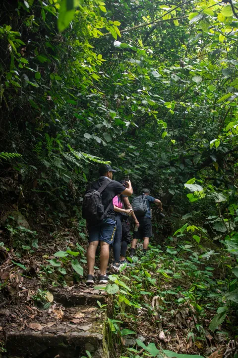
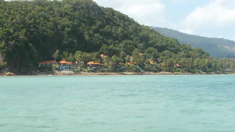
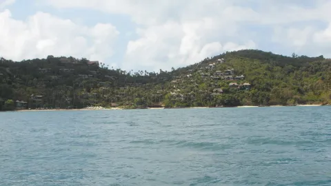
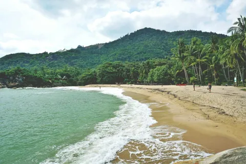
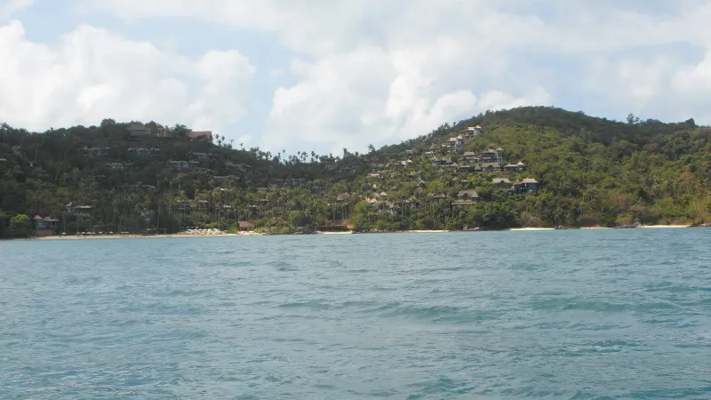
Before it on the ring road
Thong Plu Beach
2 km west of Bang Po Beach
Thong Plu Beach is an isolated, very shallow stretch on Koh Samui's northwest edge: laid-back, undeveloped, and rarely visited by tourists.
Right now
Month by month
Pick a month. The water, the swim call, the crowds and the sun all follow your pick, here and further down the page.
CalmChoppyRough Rain
Swim January
Swim near high tide
Calm water, but shallow: come an hour or two either side of high water, when there is enough depth to swim.
North coast Sea 28 °C Sunset 18:18 Calm
Swim February
Swim near high tide
Calm water, but shallow: come an hour or two either side of high water, when there is enough depth to swim.
North coast Sea 28.5 °C Sunset 18:29 Calm
Swim March
Swim near high tide
Calm water, but shallow: come an hour or two either side of high water, when there is enough depth to swim.
North coast Sea 29 °C Sunset 18:32 Calm
Swim April
Swim near high tide
Calm water, but shallow: come an hour or two either side of high water, when there is enough depth to swim.
North coast Sea 30 °C Sunset 18:30 Calm
Swim May
Swim near high tide
Calm water, but shallow: come an hour or two either side of high water, when there is enough depth to swim.
North coast Sea 30 °C Sunset 18:33 Calm
Swim June
Swim near high tide
Calm water, but shallow: come an hour or two either side of high water, when there is enough depth to swim.
North coast Sea 30 °C Sunset 18:41 Calm
Swim July
Swim near high tide
Calm water, but shallow: come an hour or two either side of high water, when there is enough depth to swim.
North coast Sea 29.5 °C Sunset 18:45 Calm
Swim August
Swim near high tide
Calm water, but shallow: come an hour or two either side of high water, when there is enough depth to swim.
North coast Sea 29.5 °C Sunset 18:38 Calm
Swim September
Swim near high tide
Calm water, but shallow: come an hour or two either side of high water, when there is enough depth to swim.
North coast Sea 29 °C Sunset 18:21 Calm
Dip October
A short dip in choppy water
The sea on this coast turns choppy this month and the shallows can go murky. Stay in your depth.
North coast Sea 29 °C Sunset 18:03 Choppy
Dip November
A short dip in choppy water
The sea on this coast turns choppy this month and the shallows can go murky. Stay in your depth.
North coast Sea 29 °C Sunset 17:56 Choppy
Dip December
A short dip in choppy water
The sea on this coast turns choppy this month and the shallows can go murky. Stay in your depth.
North coast Sea 28.5 °C Sunset 18:03 Choppy
Swim
High tide only
A workable dip at high water. At low water you walk a long way out before it reaches your waist.
Snorkel
Sea
CalmCalmCalmCalmCalmCalmCalmCalmCalmChoppyChoppyChoppy
28 °C water, 125 mm of rain on 8 days.28.5 °C water, 65 mm of rain on 4 days.29 °C water, 115 mm of rain on 5 days.30 °C water, 85 mm of rain on 6 days.30 °C water, 130 mm of rain on 11 days.30 °C water, 135 mm of rain on 10 days.29.5 °C water, 115 mm of rain on 11 days.29.5 °C water, 100 mm of rain on 10 days.29 °C water, 120 mm of rain on 11 days.29 °C water, 295 mm of rain on 16 days.29 °C water, 445 mm of rain on 16 days.28.5 °C water, 265 mm of rain on 12 days.
Calm January to September
Sand
Golden, mixed
Fine sand with coarser, firmer patches near the waterline. Water shoes help.
Wide flats at low tide
Crowds
Almost no one
Peak season on the island: more people on every beach.Peak season on the island: more people on every beach.Shoulder season: a steady trickle of visitors.Shoulder season: a steady trickle of visitors.Low season island-wide. You may have long stretches to yourself.Low season island-wide. You may have long stretches to yourself.Shoulder season: a steady trickle of visitors.Shoulder season: a steady trickle of visitors.Low season island-wide. You may have long stretches to yourself.Low season island-wide. You may have long stretches to yourself.Low season island-wide. You may have long stretches to yourself.Peak season on the island: more people on every beach.
Island busy this month
Sunset
18:1818:2918:3218:3018:3318:4118:4518:3818:2118:0317:5618:03
Drops behind the island's own hills, about 0.5 km away: you get the glow, not the sun on the water.Drops behind the island's own hills, about 1 km away: you get the glow, not the sun on the water.Goes down over open water, straight out to sea.Goes down over the sea toward the Ang Thong islands, about 26.3 km out.Goes down over the sea toward the Ang Thong islands, about 30.3 km out.Goes down over the sea toward the Ang Thong islands, about 32.5 km out.Goes down over the sea toward the Ang Thong islands, about 32.5 km out.Goes down over the sea toward the Ang Thong islands, about 30.3 km out.Goes down over the sea toward the Ang Thong islands, about 25.3 km out.Drops behind the island's own hills, about 1.8 km away: you get the glow, not the sun on the water.Drops behind the island's own hills, about 0.7 km away: you get the glow, not the sun on the water.Drops behind the island's own hills, about 0.5 km away: you get the glow, not the sun on the water.
Kids
2 of 3
Shallow, gentle water for wading. No lifeguard, so stay close.
Kids rating
Food
6 places
Sassy Beach, Aromi Diversi Pizzeria & Beach Bar, Flavors of India
Village prices
After dark
Nothing
No bars and no lights. For a night out, head to Chaweng or Bophut.
Nightlife rating
The story
13 min read
Key facts
Bang Po Beach (หาดบางปอ, also spelled Bang Por) is a quiet, ~3 km stretch of sand on the north coast of Koh Samui, Thailand, best for calm swimming at high tide, seafood on the sand and sunsets over Koh Phangan. It runs from the Ban Tai area toward the Laem Yai headland, just beyond the western end of Maenam Beach, and draws a fraction of the visitors that Chaweng or Lamai see on any given day. Expect a 25-35 minute drive from the airport.
What makes Bang Po worth the drive is what it lacks: no jet skis, no beach vendors hawking sarongs every few meters, no wall-to-wall sun loungers. In their place are small Thai seafood restaurants built right on the sand, a shallow reef that surfaces at low tide and opens up for snorkeling when the water rises, and long, uninterrupted sightlines across the strait to Koh Phangan’s hills.
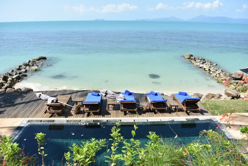
Choose Bang Po for a quieter street, fewer hotels and a beach where restaurants sit on the sand; choose Maenam Beach for a longer, easier swimming beach with more hotels, a Thursday walking street and the Lomprayah pier for Koh Phangan. Both face the same strait and share the same sheltered north coast. Bang Po’s catch is the tide: wide flats and some rocks show at low tide, while Maenam’s central and eastern sections stay wadeable. If you want easy swimming at any hour, Maenam wins; if you want space and sunsets, Bang Po does. For a third option with a real reef, see Silver Beach.
On a map, Bang Po is the stretch of the north coast between Ban Tai, at its eastern end, and the Laem Yai headland to the west: the northwestern tip of Koh Samui, Thailand’s third-largest island. Some travel guides stretch the “Bang Po” label as far as Mae Nam, quoting figures up to 5-6 km, but the core sandy stretch that locals and most maps call Bang Po Beach runs closer to ~3 km. It is one of the longer continuous beaches on the island regardless of exactly where the boundary is drawn.
The road behind the beach, part of the Route 4169 ring road network (beach centre at about 9.579 N, 99.951 E), stays low-key: small resorts, guesthouses, and a scatter of restaurants rather than the resort walls that line Chaweng. Because Bang Po faces northwest across the Gulf of Thailand, it looks directly at Koh Phangan, and on clear days the silhouette of Koh Tao is visible further out.
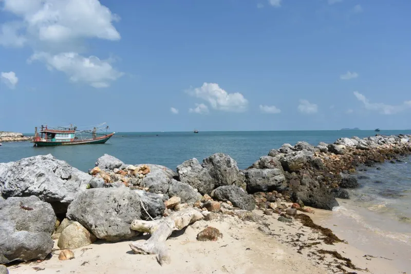
The sand along Bang Po ranges from golden to a lighter, almost pale yellow, and it is noticeably coarser in patches than the fine powder found at Chaweng or Choeng Mon: a mix of sand, soil, and clay that firms up underfoot rather than sinking. Palm trees lean over much of the shoreline, and several stretches report minimal seaweed and no beach hawkers, which keeps the walk from end to end genuinely relaxing.
Bang Po is good for swimming at mid to high tide, when the water covers the shallow flats and stays calm with essentially no wave action. Families with young children favor it for exactly this reason: there is no current to fight and no drop-off close to shore.
The catch is the tide. At low tide, Bang Po exposes wide sand and mud flats along with scattered rocks and boulders, and swimming becomes impractical until the water returns. Koh Samui’s tidal range runs roughly 1.0-2.1 m, and Bang Po’s gentle gradient means that swing translates into a large visible change in the shoreline. Check a Koh Samui tide chart before planning a swim, and aim for the two to three hours either side of high tide.
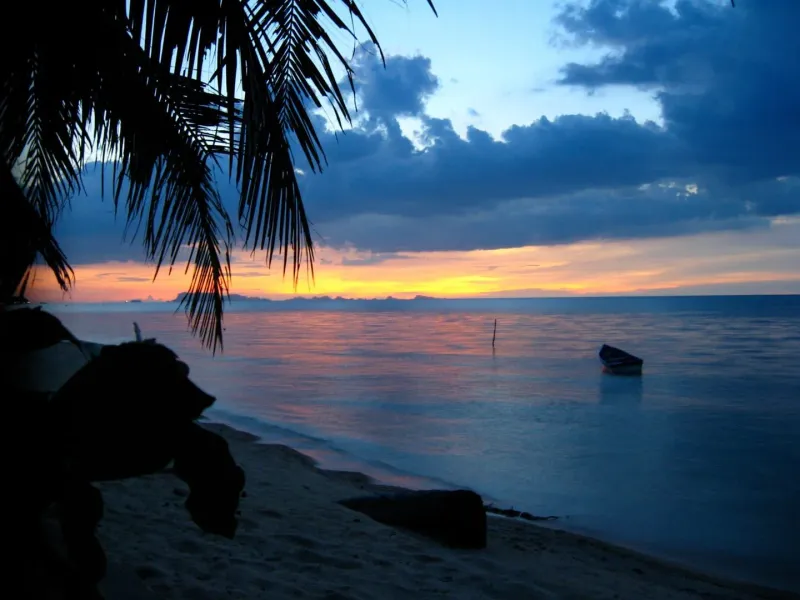
One quirk that keeps photographers coming back: when the tide is low and the remaining water sits in a thin, glass-like sheet across the sand, the setting sun reflects off it almost perfectly, producing what regulars call a “double sunset”: the true sun above the horizon and its mirror image glowing in the wet sand below. It only works under the right combination of low tide and clear sky, so treat it as a bonus rather than a guarantee.
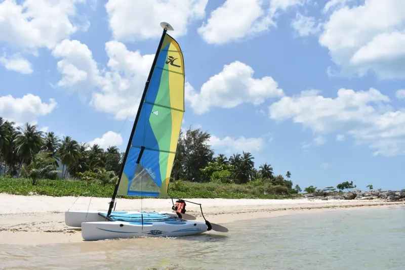
Bang Po is not an adventure-sports beach, but it has enough on offer for a full day without ever leaving the sand.
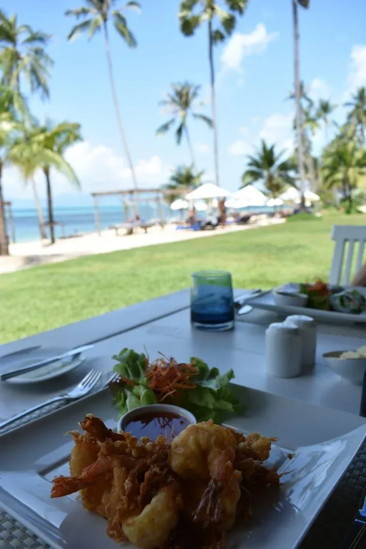
Bang Po’s dining is built around small, family-run restaurants set directly on the sand, plus a handful of international kitchens that have moved in alongside the beach’s growing guesthouse scene.
| Restaurant | Cuisine | Price Range | Known For |
|---|---|---|---|
| Sassy Beach | Thai, international | $$ | Beachfront tables, sunset cocktails |
| Aromi Diversi Pizzeria & Beach Bar | Italian | $$ | Wood-fired pizza on the sand |
| Flavors of India | Indian | $$ | Curries and tandoori near the beach road |
| Villa Luna | French-Italian | $-$$ | Wood-fired dishes, beachfront setting, occasional live music |
| Jeen Shop | Thai, seafood | $ | Simple grilled seafood a short walk from the water |
Most of Bang Po’s Thai kitchens work the same way: pick your fish, squid, or prawns from an ice tray and have it grilled or steamed to order. The Michelin Guide’s Samui listing also includes Bang Por Seafood Takho (Selected), a beachfront kitchen known for steamed sea bass and Southern Thai seafood dishes. Expect to pay roughly 150-350 THB (~4.50-10 USD) for a seafood plate, and 50-100 THB (~1.50-3 USD) for pad thai, fried rice, or a curry over rice: noticeably cheaper than the equivalent meal in Chaweng.
Bang Po’s position at the quiet end of the north coast keeps it close to several worthwhile stops without being crowded by them.
Hotels at Bang Po are fewer than at Maenam or Bophut, but they span a genuine range: from simple beachfront bungalows to one of Thailand’s best-known ultra-luxury resorts nearby on the same stretch of coast.
| Category | Average Price | Examples |
|---|---|---|
| Budget | 700-1,400 THB (~20-40 USD)/night | Anna Resort, local guesthouses along the beach road |
| Mid-range (3-star) | 1,750-3,500 THB (~50-100 USD)/night | Mimosa Resort & Spa, Code Hotel |
| Upscale (4-star) | 4,200-7,700 THB (~120-220 USD)/night | Karma Two Palms Beach, Secret Garden Beach Resort |
| Luxury (5-star) | 17,500+ THB (~500+ USD)/night | Four Seasons Resort Koh Samui |
Bang Po is on the north coast past Maenam: figure on ~25-35 minutes by car in normal traffic.
A rented scooter (~200-300 THB/day, ~6-9 USD) is the easiest way to combine Bang Po with Maenam, the Chinese temple, and Wat Na Phra Lan in a single loop. Confirm your travel insurance covers scooter riding before renting.
| Season | Months | Conditions | Rating |
|---|---|---|---|
| Peak / Dry | Dec-Feb | Sunny, calm seas, minimal rain | |
| Hot | Mar-May | Hotter (35 degrees Celsius+), brief showers possible | |
| Inter-monsoon | Jun-Aug | Mixed weather, generally pleasant | |
| Monsoon | Sep - mid-Nov | Heavier rain possible, choppier water |
The calm, shallow water at mid to high tide, the absence of beach hawkers, and the easy walking distance make Bang Po workable for families who want a quieter alternative to Maenam without giving up swimmable water. Bring water shoes for the rockier, coarser sections.
Bang Po’s guesthouse scene is smaller than Maenam’s but growing, with monthly bungalow rentals available from roughly 8,000-15,000 THB (~229-429 USD). It suits people already settled on the north coast who want a quieter street than Maenam’s village center, though daily errands still mean a short drive.
| Traveler Type | Fit | Why |
|---|---|---|
| Families | Calm water at high tide, no hawkers, but plan around the tide | |
| Couples | Quiet sunset walks, Koh Phangan views, low-key beach dinners | |
| Budget travelers | Cheap Thai seafood and simple guesthouses | |
| Luxury travelers | Four Seasons Resort Koh Samui on the same stretch of coast | |
| Snorkelers | A real reef, but visibility and access depend on the tide | |
| Digital nomads | Workable but with thinner infrastructure than Maenam or Bophut | |
| Party seekers | Nothing resembling nightlife: go to Chaweng instead |
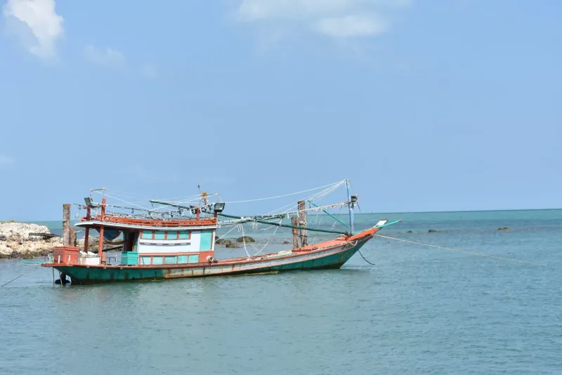
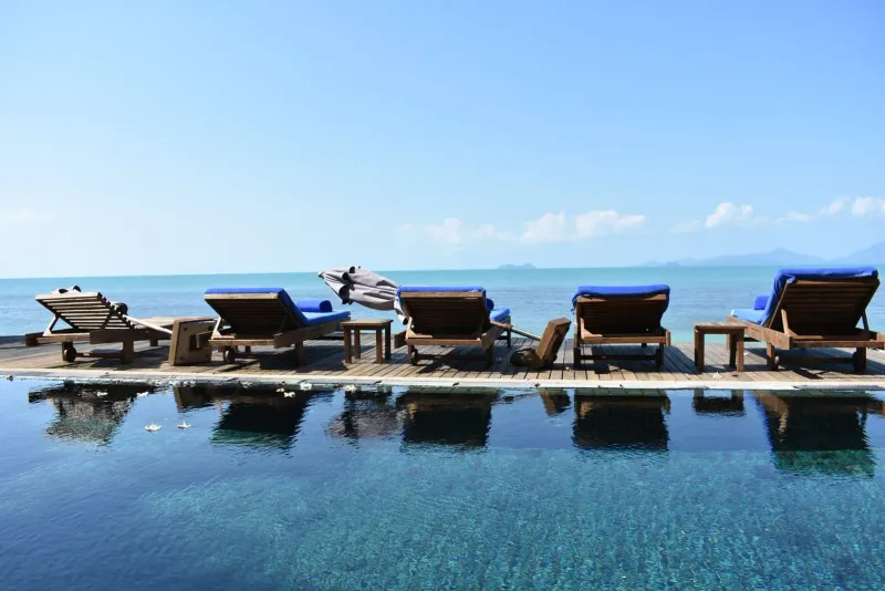
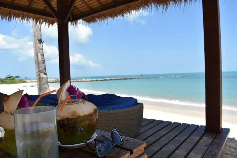
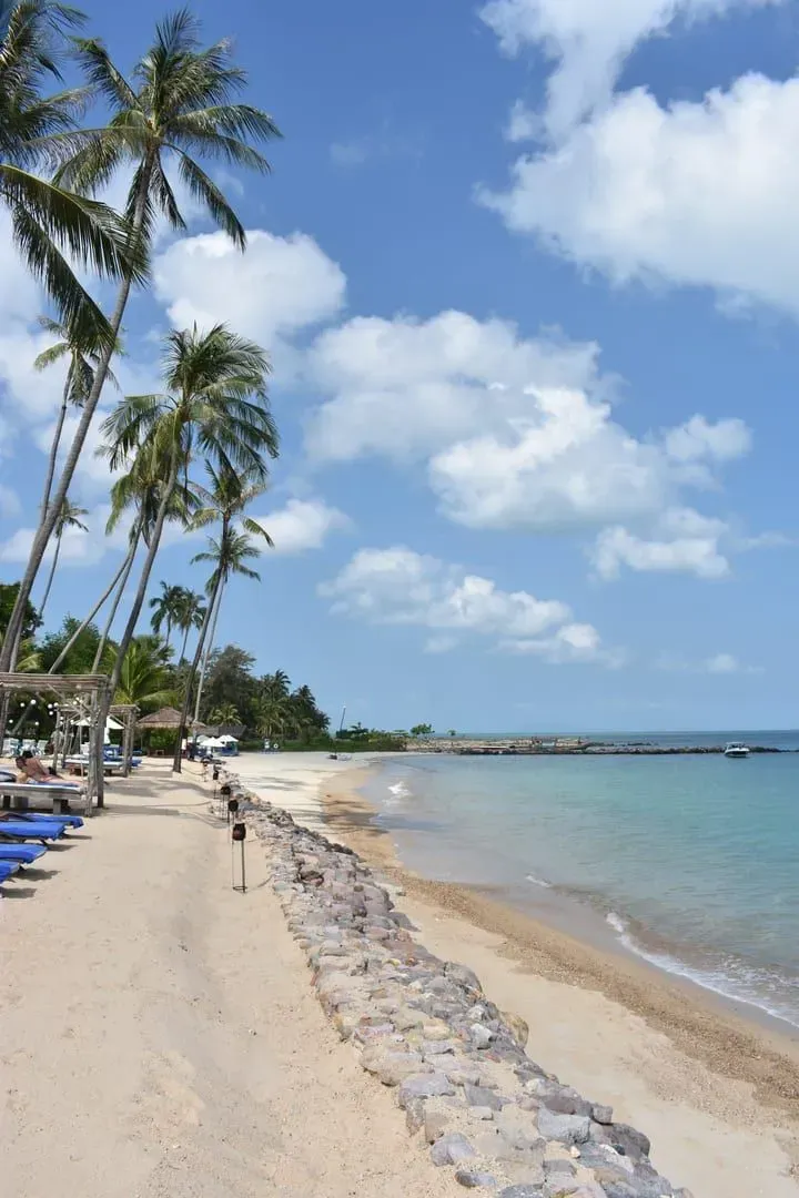
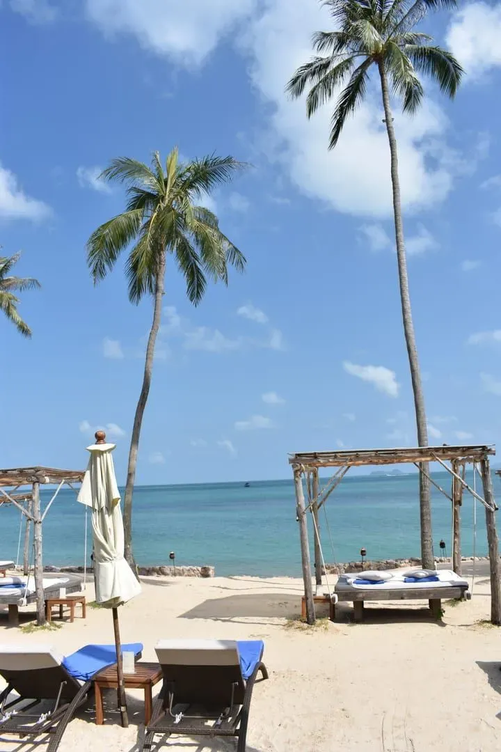
Bang Po Beach is swimmable at mid to high tide, when the water is calm and covers the shallow sand and mud flats close to shore. At low tide, wide flats and scattered rocks are exposed, making swimming impractical until the tide returns. Check a tide chart and time your visit around high tide for the best experience.
Yes. A small coral reef lies just offshore from Bang Po Beach, best explored at high tide when it is fully submerged and easier to reach without contact with exposed rock. Visibility is more limited than at Koh Tao or Ang Thong Marine Park, but it is a convenient option for casual snorkeling without leaving Koh Samui.
Bang Po Beach’s core sandy stretch runs approximately 3 km along Koh Samui’s northwest coast, between Ban Tai and the Laem Yai headland. Some sources describe a longer stretch of 5-6 km when the label is extended toward Mae Nam, but the beach most commonly identified as Bang Po is the shorter, quieter ~3 km section.
Bang Po Beach is about 25-35 minutes from Samui International Airport by car. The fixed airport taxi fare to the Bang Po area (zone 3) is about 900 THB (~26 USD) per car as of 2026. Shared minivans are cheaper but slower, and Grab ride-hailing works for trips starting elsewhere on the island but not for airport pickups.
At low tide, a thin sheet of water can remain on Bang Po Beach’s flat sand, creating a mirror-like surface. When the sun sets under the right conditions, its reflection appears in the wet sand below the true horizon, producing a striking double-sunset effect that photographers seek out on clear, calm evenings.
Bang Po Beach suits families reasonably well, with calm, shallow water at high tide, minimal seaweed, and no beach hawkers to navigate. The main caveat is the tide: low tide exposes rocky, coarser sand that is less comfortable for young children, so families should plan swimming around the tide schedule rather than a fixed time of day.
No. Thailand has no official nudist beach, and public nudity is illegal, with fines of up to 5,000 THB. Topless sunbathing is technically illegal too but is tolerated on some tourist beaches. Bang Po is a low-key local beach, so keep swimwear on.

Nearby
What is near
The nearest temples, waterfalls, hikes and beaches, each with the straight-line distance and direction. Point at a name to find its pin.
Getting hereStraight-line distances to the places most visitors come from.
Sunset
From the sand
Bang Po Beach looks north-west. Pick a month to see where the sun meets the horizon, and what stands in front of it.
18:18January18:29February18:32March18:30April18:33May18:41June18:45July18:38August18:21September18:03October17:56November18:03December
Sun bearing from the middle of the beach, computed from its coordinates and the coastline outlines, mid-month.
This coast
Along the ring road
Bang Po Beach is No. 5 of 34 round the ring road. Next door: Thong Plu Beach one way, Na Phra Lan Beach the other.
Route 4169, the ring road, runs behind every beach on this stretch
Before it on the ring road
2 km west of Bang Po Beach
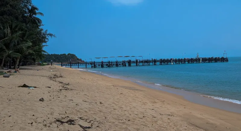
Thong Plu Beach is an isolated, very shallow stretch on Koh Samui's northwest edge: laid-back, undeveloped, and rarely visited by tourists.
After it on the ring road
3.7 km east of Bang Po Beach
Na Phra Lan Beach is a small, local stretch of sand on Koh Samui's northwest coast near Wat Na Phra Lan and Maenam